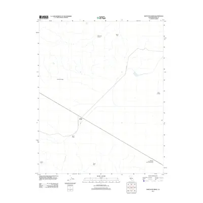
2012 Map of Sawtooth Ridge
USGS Topo · Published 2012About this map
Kecks Corner sits at the intersection of local transit routes in this arid portion of the California-Kern county line, where the landscape is defined by the elevation changes of the Diablo Range. The namesake Sawtooth Ridge and Point of Rocks dominate the eastern and central terrain, while White City Canyon and the evocatively named Devils Den cut through the northern hills. Agricultural and industrial activity is represented by the Blackwell Land Company Incorporated Airport, signaling the large-scale land management common in this region.
Find a feature on this map
14 named features on this map. Tap any name to fly to it.
Don’t see what you’re looking for? This feature index may not catch every label — zoom into the map to look around manually.
Map Details
Editions of this 2012 Sawtooth Ridge Map
This is the sole edition of this map. No revisions or reprints were ever made.
Other maps of this area

1914 · Lost Hills
USGS Topo · 1:125,000

1914 · Cholame
USGS Topo · 1:125,000

1915 · Cholame
USGS Topo · 1:125,000

1917 · Cholame
USGS Topo · 1:125,000

1930 · Avenal Gap
USGS Topo · 1:31,680

1933 · Avenal Gap
USGS Topo · 1:31,680

1942 · Tent Hills
USGS Topo · 1:24,000

1943 · Packwood
USGS Topo · 1:31,680

1943 · Grant Lake
USGS Topo · 1:31,680
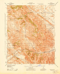
1943 · Tent Hills
USGS Topo · 1:31,680