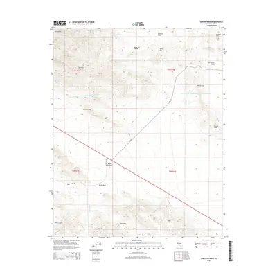
2015 Map of Sawtooth Ridge
USGS Topo · Published 2015About this map
Keeks Corner serves as a lone landmark at the intersection of Kecks Rd and Barrel Valley Rd, where the southern foothills of the Diablo Range meet the northern reaches of the Temblor Range. The landscape is defined by the heavy infrastructure of the Governor Edmund G Brown Coastal Br California Aqueduct, which cuts across the arid terrain of the San Joaquin Valley and Central Valley.
Find a feature on this map
26 named features on this map. Tap any name to fly to it.
Don’t see what you’re looking for? This feature index may not catch every label — zoom into the map to look around manually.
Map Details
Editions of this 2015 Sawtooth Ridge Map
This is the sole edition of this map. No revisions or reprints were ever made.
Other maps of this area

1914 · Lost Hills
USGS Topo · 1:125,000

1914 · Cholame
USGS Topo · 1:125,000

1915 · Cholame
USGS Topo · 1:125,000

1917 · Cholame
USGS Topo · 1:125,000

1930 · Avenal Gap
USGS Topo · 1:31,680

1933 · Avenal Gap
USGS Topo · 1:31,680

1942 · Tent Hills
USGS Topo · 1:24,000

1943 · Packwood
USGS Topo · 1:31,680

1943 · Grant Lake
USGS Topo · 1:31,680
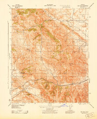
1943 · Tent Hills
USGS Topo · 1:31,680