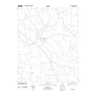
2010 Map of Saxapahaw
USGS Topo · Published 2010About this map
Saxapahaw serves as a focal point along the Haw River in this 2010 survey of southern Alamance County. The landscape is defined by its industrial and agricultural legacy, visible in the presence of the Sellers Manufacturing Company Dam and the accompanying Sellers Manufacturing Company Lake. These features reflect a local economy historically tied to water power and textile production. Further south, the rural character of the region is anchored by small communities such as Eli Whitney, Sutphin, and Oaks. A network of country roads connects family-named landmarks and historical sites, including the Moores Chapel Cemetery. The terrain is deeply etched by a complex drainage system, where the river meets numerous tributaries like Marys Creek, Cane Creek, and Motes Creek, tracing the natural movement of water across the North Carolina Piedmont.
Find a feature on this map
51 named features on this map. Tap any name to fly to it.
Don’t see what you’re looking for? This feature index may not catch every label — zoom into the map to look around manually.
Map Details
Editions of this 2010 Saxapahaw Map
This is the sole edition of this map. No revisions or reprints were ever made.
Other maps of this area

1953 · Raleigh
USGS Topo · 1:250,000

1953 · Greensboro
USGS Topo · 1:250,000

1954 · Greensboro
USGS Topo · 1:250,000

1954 · Raleigh
USGS Topo · 1:250,000

1962 · Greensboro
USGS Topo · 1:250,000

1966 · Greensboro
USGS Topo · 1:250,000

1968 · White Cross
USGS Topo · 1:24,000

1968 · Efland
USGS Topo · 1:24,000

1968 · Bynum
USGS Topo · 1:24,000

1969 · Burlington
USGS Topo · 1:24,000