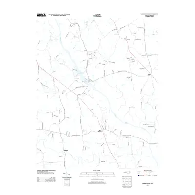
2013 Map of Saxapahaw
USGS Topo · Published 2013About this map
The Haw River shapes the geography of this part of southern Alamance County, defining the industrial and agricultural character of Saxapahaw. The local economy is anchored by the Sellers Manufacturing Company Lake, a notable feature that underscores the community's history of textile production along the riverbanks. Small crossroads communities such as Eli Whitney, Sutphin, and Oaks serve as focal points for the surrounding rural landscape, which is bisected by the north-south corridor of Route 87.
Find a feature on this map
123 named features on this map. Tap any name to fly to it.
Don’t see what you’re looking for? This feature index may not catch every label — zoom into the map to look around manually.
Map Details
Editions of this 2013 Saxapahaw Map
This is the sole edition of this map. No revisions or reprints were ever made.
Other maps of this area

1953 · Raleigh
USGS Topo · 1:250,000

1953 · Greensboro
USGS Topo · 1:250,000

1954 · Greensboro
USGS Topo · 1:250,000

1954 · Raleigh
USGS Topo · 1:250,000

1962 · Greensboro
USGS Topo · 1:250,000

1966 · Greensboro
USGS Topo · 1:250,000

1968 · White Cross
USGS Topo · 1:24,000

1968 · Efland
USGS Topo · 1:24,000

1968 · Bynum
USGS Topo · 1:24,000

1969 · Burlington
USGS Topo · 1:24,000