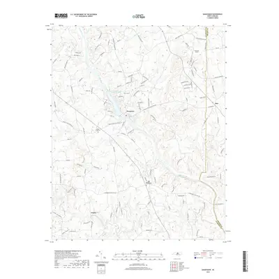
2019 Map of Saxapahaw
USGS Topo · Published 2019About this map
Saxapahaw serves as a focal point along the Haw River in this modern survey of the North Carolina piedmont. The river's influence on local industry is preserved in the naming of Sellers Manufacturing Company Lake, while the surrounding landscape reflects a transition toward residential and rural community life. Small settlements like Eli Whitney, Sutphin, and Oaks are mapped in detail alongside the county line dividing Alamance and Orange.
Find a feature on this map
118 named features on this map. Tap any name to fly to it.
Don’t see what you’re looking for? This feature index may not catch every label — zoom into the map to look around manually.
Map Details
Editions of this 2019 Saxapahaw Map
This is the sole edition of this map. No revisions or reprints were ever made.
Other maps of this area

1953 · Raleigh
USGS Topo · 1:250,000

1953 · Greensboro
USGS Topo · 1:250,000

1954 · Greensboro
USGS Topo · 1:250,000

1954 · Raleigh
USGS Topo · 1:250,000

1962 · Greensboro
USGS Topo · 1:250,000

1966 · Greensboro
USGS Topo · 1:250,000

1968 · White Cross
USGS Topo · 1:24,000

1968 · Efland
USGS Topo · 1:24,000

1968 · Bynum
USGS Topo · 1:24,000

1969 · Burlington
USGS Topo · 1:24,000