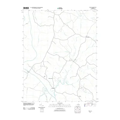
2010 Map of Saxe
USGS Topo · Published 2010About this map
The Roanoke River system dictates the landscape of Charlotte County in this 2010 survey, as it winds through a terrain defined by numerous named tributaries and small rural settlements. Communities like Saxe, Randolph, and Mossingford are situated along these waterways and the local road network, including Newtown Rd and Saxkey Rd. The presence of Mulberry Hill suggests a historic plantation or farmstead footprint, characteristic of Southside Virginia. Water management and crossings are notable here, evidenced by Willies Dam and Watkins Bridge, which facilitate movement across the river and its branches. This area maintains a dispersed settlement pattern where creek names such as Wards Fork Creek and Twittys Creek serve as primary geographical anchors for local landholdings.
Find a feature on this map
33 named features on this map. Tap any name to fly to it.
Don’t see what you’re looking for? This feature index may not catch every label — zoom into the map to look around manually.
Map Details
Editions of this 2010 Saxe Map
This is the sole edition of this map. No revisions or reprints were ever made.
Other maps of this area

1892 · Appomattox
USGS Topo · 1:125,000

1947 · Roanoke
USGS Topo · 1:250,000

1953 · Greensboro
USGS Topo · 1:250,000

1954 · Greensboro
USGS Topo · 1:250,000

1954 · Clover
USGS Topo · 1:62,500

1954 · Halifax
USGS Topo · 1:62,500

1956 · Brookneal
USGS Topo · 1:62,500

1956 · Charlotte Court House
USGS Topo · 1:62,500

1959 · Roanoke
USGS Topo · 1:250,000

1962 · Greensboro
USGS Topo · 1:250,000