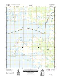
2013 Map of Saxis
USGS Topo · Published 2013About this map
The town of Saxis anchors this coastal survey, situated on the edge of the Pocomoke Sound amidst a landscape of intricate marshlands and tidal guts. Connected to the mainland by Saxis Rd, this fishing community is defined by its relationship with the water, including proximity to Starling Creek and Fishing Creek. Further inland and to the east, small settlements like Sanford, Grotons, and Belinda sit along the winding roads that navigate the peninsula's interior.
Find a feature on this map
76 named features on this map. Tap any name to fly to it.
Don’t see what you’re looking for? This feature index may not catch every label — zoom into the map to look around manually.
Map Details
Editions of this 2013 Saxis Map
This is the sole edition of this map. No revisions or reprints were ever made.
Other maps of this area
1903 · Crisfield
USGS Topo · 1:62,500
1903 · Deal Island
USGS Topo · 1:62,500
1920 · Crisfield
USGS Topo · 1:62,500
1942 · Chesconessex
USGS Topo · 1:31,680
1942 · Marion
USGS Topo · 1:24,000
1942 · Kingston
USGS Topo · 1:24,000
1942 · Mappsville
USGS Topo · 1:24,000
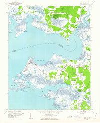
1942 · Saxis
USGS Topo · 1:24,000
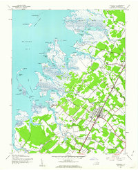
1942 · Parksley
USGS Topo · 1:24,000
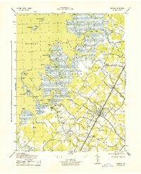
1943 · Parksley
USGS Topo · 1:31,680