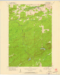
1956 Map of Saxon
USGS Topo · Published 1957About this map
The town of Saxon serves as a vital northern hub in this mid-century portrait of Iron County, situated where the Chicago and North Western and M St P & S Ste M railroads converge. The landscape is defined by the winding course of the Potato River and its numerous tributaries, including Vaughn Creek and Sullivan Creek, which carve through the townships of Gurney, Saxon, and Anderson. This era shows a community centered around local landmarks like the County Fairground and Greenwood Cem.
Find a feature on this map
26 named features on this map. Tap any name to fly to it.
Don’t see what you’re looking for? This feature index may not catch every label — zoom into the map to look around manually.
Map Details
Editions of this 1956 Saxon Map
2 editions found
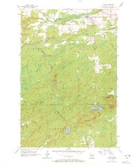
Other maps of this area
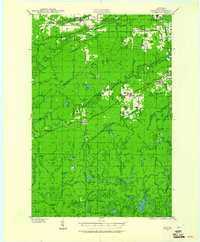
1940 · Upson
USGS Topo · 1:48,000
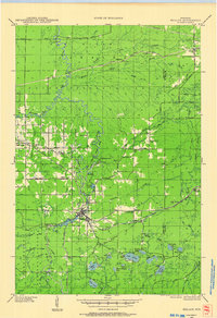
1942 · Mellen
USGS Topo · 1:48,000
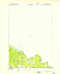
1943 · Little Girls Point
USGS Topo · 1:24,000
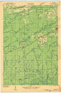
1943 · Upson
USGS Topo · 1:48,000
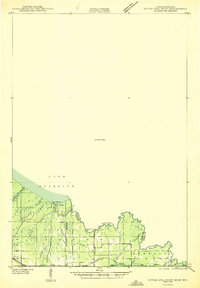
1943 · Little Girl Point
USGS Topo · 1:48,000
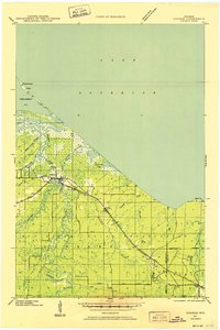
1943 · Odanah
USGS Topo · 1:48,000
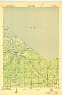
1945 · Odanah
USGS Topo · 1:48,000
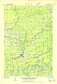
1945 · Mellen
USGS Topo · 1:48,000

1953 · Ashland
USGS Topo · 1:250,000
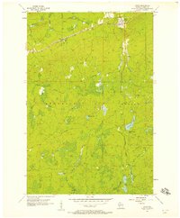
1956 · Upson
USGS Topo · 1:24,000