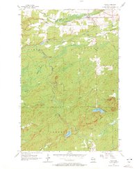
1956 Map of Saxon
USGS Topo · Published 1972About this map
Saxon serves as the primary hub in this corner of Iron County, situated at a vital railroad junction where the Chicago and North Western and Duluth South Shore and Atlantic lines converge. The landscape is defined by the winding course of the Potato River and its tributaries, cutting through townships including Gurney and Saxon. Local community life is anchored by the County Fairground and religious sites like Greenwood Cem and Calvary Cem at the southern edge of the survey. The terrain transitions from the low-lying Blueberry Marsh to the elevated vantage point of the Upson Lookout Tower. This mapping captures the industrial and agricultural infrastructure of northern Wisconsin, from the timber-rich forests near Weber Lake to the complex drainage patterns of Vaughn Creek and Lawrence Creek.
Find a feature on this map
30 named features on this map. Tap any name to fly to it.
Don’t see what you’re looking for? This feature index may not catch every label — zoom into the map to look around manually.
Map Details
Editions of this 1956 Saxon Map
2 editions found
Other maps of this area

1940 · Upson
USGS Topo · 1:48,000

1942 · Mellen
USGS Topo · 1:48,000

1943 · Little Girls Point
USGS Topo · 1:24,000

1943 · Upson
USGS Topo · 1:48,000

1943 · Little Girl Point
USGS Topo · 1:48,000

1943 · Odanah
USGS Topo · 1:48,000

1945 · Odanah
USGS Topo · 1:48,000

1945 · Mellen
USGS Topo · 1:48,000

1953 · Ashland
USGS Topo · 1:250,000
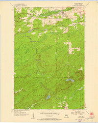
1956 · Saxon
USGS Topo · 1:24,000