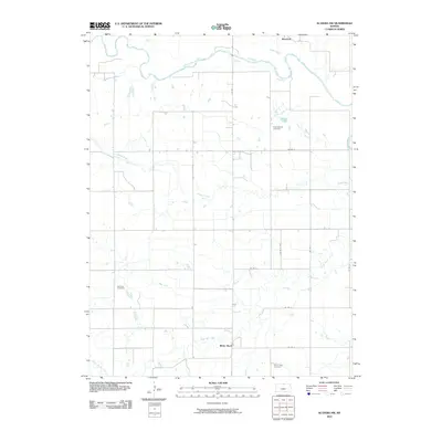
2010 Map of Scandia NW
USGS Topo · Published 2010About this map
White Rock and Warwick anchor this corner of north-central Kansas, where the northern plains are carved by a dense network of watercourses. The Republican River meanders across the northern border, joined by the southeastward flow of Forsha Creek. This agricultural landscape is meticulously organized by a grid of county roads, including Co RD 1 and Co RD D, which connect isolated homesteads to local centers of community.
Find a feature on this map
19 named features on this map. Tap any name to fly to it.
Don’t see what you’re looking for? This feature index may not catch every label — zoom into the map to look around manually.
Map Details
Editions of this 2010 Scandia NW Map
This is the sole edition of this map. No revisions or reprints were ever made.
Other maps of this area

1892 · Concordia
USGS Topo · 1:125,000

1894 · Mankato
USGS Topo · 1:125,000

1898 · Superior
USGS Topo · 1:125,000

1898 · Hebron
USGS Topo · 1:125,000

1955 · Manhattan
USGS Topo · 1:250,000

1955 · Lincoln
USGS Topo · 1:250,000

1955 · Grand Island
USGS Topo · 1:250,000

1955 · Beloit
USGS Topo · 1:250,000

1956 · Manhattan
USGS Topo · 1:250,000

1957 · Manhattan
USGS Topo · 1:250,000