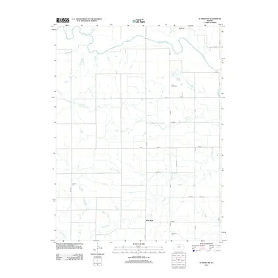
2012 Map of Scandia NW
USGS Topo · Published 2012About this map
The Republican River winds through the northern portion of this Jewell County landscape, defining the topography near the settlement of Warwick. To the south, the community of White Rock sits along the banks of White Rock Cr, illustrating a historic reliance on these local waterways for settlement and navigation. The drainage patterns of Spring Cr, Bean Cr, and Crosby Creek reveal the agricultural character of the region, where a network of county roads like Co HWY H and 280th RD connects dispersed farmsteads. For genealogists and local historians, several burial grounds are preserved on this survey, including White Rock Cem, Fairview Cem, and Rose Mound Cem, providing anchor points for family history research in this rural Kansas corner.
Find a feature on this map
27 named features on this map. Tap any name to fly to it.
Don’t see what you’re looking for? This feature index may not catch every label — zoom into the map to look around manually.
Map Details
Editions of this 2012 Scandia NW Map
This is the sole edition of this map. No revisions or reprints were ever made.
Other maps of this area

1892 · Concordia
USGS Topo · 1:125,000

1894 · Mankato
USGS Topo · 1:125,000

1898 · Superior
USGS Topo · 1:125,000

1898 · Hebron
USGS Topo · 1:125,000

1955 · Manhattan
USGS Topo · 1:250,000

1955 · Lincoln
USGS Topo · 1:250,000

1955 · Grand Island
USGS Topo · 1:250,000

1955 · Beloit
USGS Topo · 1:250,000

1956 · Manhattan
USGS Topo · 1:250,000

1957 · Manhattan
USGS Topo · 1:250,000