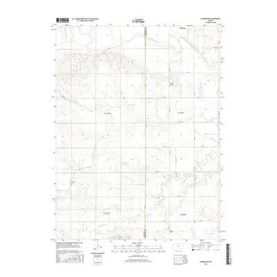
2016 Map of Scandia NW
USGS Topo · Published 2016About this map
The Republican River winds across the northern landscape of this North Central Kansas region, defining a fertile valley along the boundary between Jewell and Republic Counties. Near the northern border, the small settlement of Warwick sits close to the riverbanks and the nearby waters of Forsha Cr. The area is characterized by an extensive network of county roads, such as Co RD 1 and Co RD 2, which trace the section lines of the Public Land Survey System through townships T1S and T2S. Genealogists will find significant local history preserved in the rural burial grounds scattered across the plains, including Rose Mound Cem in the east, Fairview Cem near Bean Cr, and White Rock Cem situated along the southern reaches of White Rock Cr. Several smaller waterways, including Spring Cr and Bean Cr, carve distinct drainage patterns through the agricultural terrain, illustrating the hydrologic connection to the larger river system.
Find a feature on this map
27 named features on this map. Tap any name to fly to it.
Don’t see what you’re looking for? This feature index may not catch every label — zoom into the map to look around manually.
Map Details
Editions of this 2016 Scandia NW Map
This is the sole edition of this map. No revisions or reprints were ever made.
Other maps of this area

1892 · Concordia
USGS Topo · 1:125,000

1894 · Mankato
USGS Topo · 1:125,000

1898 · Superior
USGS Topo · 1:125,000

1898 · Hebron
USGS Topo · 1:125,000

1955 · Manhattan
USGS Topo · 1:250,000

1955 · Lincoln
USGS Topo · 1:250,000

1955 · Grand Island
USGS Topo · 1:250,000

1955 · Beloit
USGS Topo · 1:250,000

1956 · Manhattan
USGS Topo · 1:250,000

1957 · Manhattan
USGS Topo · 1:250,000