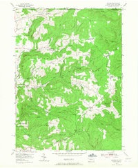
1954 Map of Scandia
USGS Topo · Published 1967About this map
The Warren State Hospital grounds and the high timberlands along the Pennsylvania-New York state line define this mid-century landscape. The map captures a transition from the lower elevations of Hatch Run and Akeley Run up toward the massive ridge formations of Quaker Ridge and Goose Ridge. This area is characterized by numerous small, family-named settlements and crossroads such as Lounsbury Corners, Macks Corners, and Clendening Corners, which suggest a localized rural economy during the early 1950s.
Find a feature on this map
52 named features on this map. Tap any name to fly to it.
Don’t see what you’re looking for? This feature index may not catch every label — zoom into the map to look around manually.
Map Details
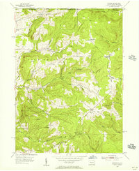
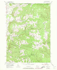
Editions of this 1954 Scandia Map
3 editions found
Other maps of this area

1905 · Jamestown
USGS Topo · 1:62,500

1906 · Warren
USGS Topo · 1:62,500

1907 · Warren
USGS Topo · 1:62,500

1908 · Warren
USGS Topo · 1:62,500

1922 · Randolph
USGS Topo · 1:62,500

1923 · Randolph
USGS Topo · 1:62,500

1936 · Kinzua
USGS Topo · 1:48,000

1941 · Kinzua
USGS Topo · 1:62,500

1942 · Jamestown
USGS Topo · 1:62,500

1943 · Randolph
USGS Topo · 1:62,500