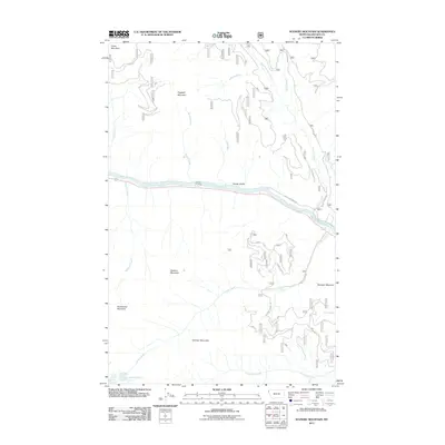
2011 Map of Scenery Mountain
USGS Topo · Published 2011About this map
The Kootenai River carves a deep valley through the center of this Lincoln County landscape, serving as a primary corridor for travel via Kootenai River Rd and the northern railway route. High peaks dominate the surrounding terrain, including Scenery Mountain and Norman Mountain, which define the drainage basins for numerous creeks. To the south, the isolated Upper Cedar Lake and Lower Cedar Lake sit at the base of the high ridges, feeding Cedar Creek. The network of forest roads such as Quartz Mtn Rd and Cedar Creek Rd provides access to these remote elevations. This topographic study documents the complex hydrography of the region, where waters from China Creek, Burrell Creek, and Quartz Creek all eventually descend toward the central river valley.
Find a feature on this map
24 named features on this map. Tap any name to fly to it.
Don’t see what you’re looking for? This feature index may not catch every label — zoom into the map to look around manually.
Map Details
Editions of this 2011 Scenery Mountain Map
This is the sole edition of this map. No revisions or reprints were ever made.
Other maps of this area

1920 · Libby
USGS Topo · 1:125,000

1930 · Libby
USGS Topo · 1:125,000

1932 · Libby
USGS Topo · 1:125,000

1957 · Kalispell
USGS Topo · 1:250,000

1960 · Kalispell
USGS Topo · 1:250,000

1961 · Kalispell
USGS Topo · 1:250,000

1963 · Scenery Mountain
USGS Topo · 1:24,000

1963 · Turner Mountain
USGS Topo · 1:24,000

1963 · Pulpit Mountain
USGS Topo · 1:24,000

1963 · Treasure Mountain
USGS Topo · 1:24,000