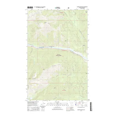
2017 Map of Scenery Mountain
USGS Topo · Published 2017About this map
Kootenai National Forest dominates this section of Lincoln County, defined by the winding course of the Kootenai River and the high ridges of the Purcell Mountains. Modern infrastructure and historical transit routes converge along the river valley, where Historic Highway 2 East follows the northern bank near Kootenai River Rd. The terrain is characterized by prominent peaks including Scenery Mtn and Norman Mtn, separated by deep drainages like Hunter Gulch. At higher elevations, Upper Cedar Lake and Lower Cedar Lake feed into Cedar Cr. The presence of several US Forest Service development roads and the 17 Mile/Quartz Snowmobile trail indicates the area's primary use for timber management and backcountry recreation during the early 21st century.
Find a feature on this map
50 named features on this map. Tap any name to fly to it.
Don’t see what you’re looking for? This feature index may not catch every label — zoom into the map to look around manually.
Map Details
Editions of this 2017 Scenery Mountain Map
This is the sole edition of this map. No revisions or reprints were ever made.
Other maps of this area

1920 · Libby
USGS Topo · 1:125,000

1930 · Libby
USGS Topo · 1:125,000

1932 · Libby
USGS Topo · 1:125,000

1957 · Kalispell
USGS Topo · 1:250,000

1960 · Kalispell
USGS Topo · 1:250,000

1961 · Kalispell
USGS Topo · 1:250,000

1963 · Scenery Mountain
USGS Topo · 1:24,000

1963 · Turner Mountain
USGS Topo · 1:24,000

1963 · Pulpit Mountain
USGS Topo · 1:24,000

1963 · Treasure Mountain
USGS Topo · 1:24,000