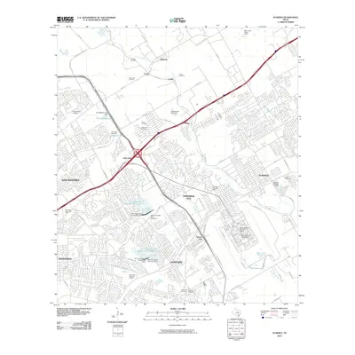
2010 Map of Schertz
USGS Topo · Published 2010About this map
Randolph Air Force Base and its significant Randolph Field Historic District anchor the southeastern corner of this landscape, illustrating the deep military presence near the Bexar and Guadalupe county lines. To the west and north, the rapid suburban expansion of San Antonio and satellite cities like Schertz, Universal City, and Live Oak is evident, yet the map preserves numerous ties to earlier generations through a high density of family cemeteries. Landmarks such as the Wheeler Cemetery, Davenport Cemetery, and Englemann Cemetery dot the areas surrounding Bracken and Selma. Water management is a key theme of the terrain, with the Salitrillo Creek and Martinez Creek drainages featuring multiple engineered structures, including Soil Conservation Service Site 5 Dam and the Martinez Creek Dam Number 4, which help regulate the watershed feeding into Cibolo Creek.
Find a feature on this map
83 named features on this map. Tap any name to fly to it.
Don’t see what you’re looking for? This feature index may not catch every label — zoom into the map to look around manually.
Map Details
Editions of this 2010 Schertz Map
This is the sole edition of this map. No revisions or reprints were ever made.
Other maps of this area

1927 · New Braunfels
USGS Topo · 1:62,500

1953 · Schertz
USGS Topo · 1:24,000

1953 · Bulverde
USGS Topo · 1:24,000

1953 · San Antonio East
USGS Topo · 1:24,000

1953 · Bat Cave
USGS Topo · 1:24,000

1953 · Longhorn
USGS Topo · 1:24,000

1953 · Martinez
USGS Topo · 1:24,000

1954 · San Antonio
USGS Topo · 1:250,000

1957 · San Antonio
USGS Topo · 1:250,000

1958 · Marion
USGS Topo · 1:24,000