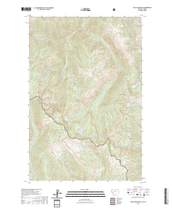
2024 Map of Schley Mountain
USGS Topo · Published 2024About this map
The Bitterroot Range defines this high-altitude landscape along the Idaho Montana state line, where the borders of the Lolo National Forest and Clearwater National Forest meet. This survey provides a precise look at the drainage patterns of the Bitterroot Mountains, characterized by the radiating headwaters of West Fork Fish Creek and East Fork Indian Creek. High-mountain basins host numerous small water bodies, including Cedar Log Lakes, Surveyor Lake, and Kelly Lake, which are linked by a network of historic forest paths. Significant points like Schley Mtn and Admiral Peak anchor the ridgelines, while the Stateline Trl traces the rugged boundary between Mineral and Clearwater counties. The map preserves the exact alignment of remote routes such as the Cedar Peak-Straight Peak Trl and the Indian Ridge Trl through this undeveloped wilderness.
Find a feature on this map
38 named features on this map. Tap any name to fly to it.
Don’t see what you’re looking for? This feature index may not catch every label — zoom into the map to look around manually.
Map Details
Editions of this 2024 Schley Mountain Map
This is the sole edition of this map. No revisions or reprints were ever made.
Other maps of this area

1911 · Lolo
USGS Topo · 1:250,000

1913 · Lolo
USGS Topo · 1:250,000

1956 · Hamilton
USGS Topo · 1:250,000

1959 · Hamilton
USGS Topo · 1:250,000

1960 · Hamilton
USGS Topo · 1:250,000

1960 · Straight Peak
USGS Topo · 1:62,500

1964 · Hamilton
USGS Topo · 1:250,000
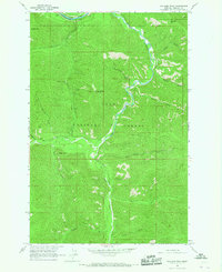
1964 · Williams Peak
USGS Topo · 1:24,000
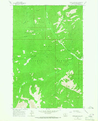
1964 · White Mountain
USGS Topo · 1:24,000
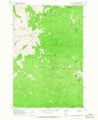
1964 · Granite Pass
USGS Topo · 1:24,000