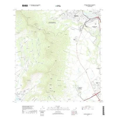
2017 Map of Schofield Barracks
USGS Topo · Published 2017About this map
Schofield Barracks and its sprawling military reservation dominate the northern landscape of this 2017 study, where the developed infrastructure of Wheeler Army Airfield meets the steep, dramatic topography of the Wai‘anae Range. The map documents a complex interface between active federal installations and deep cultural geography, including the Honouliuli National Monument and the specialized USA Field Station Kunia.
Find a feature on this map
165 named features on this map. Tap any name to fly to it.
Don’t see what you’re looking for? This feature index may not catch every label — zoom into the map to look around manually.
Map Details
Editions of this 2017 Schofield Barracks Map
This is the sole edition of this map. No revisions or reprints were ever made.
Other maps of this area

1953 · Haleiwa
USGS Topo · 1:24,000

1953 · Schofield Barracks
USGS Topo · 1:24,000

1953 · Ewa
USGS Topo · 1:24,000

1953 · Puuloa
USGS Topo · 1:24,000

1953 · Hauula
USGS Topo · 1:24,000

1954 · Oahu
USGS Topo · 1:250,000

1954 · Waianae
USGS Topo · 1:24,000

1954 · Kaena
USGS Topo · 1:24,000

1954 · Waipahu
USGS Topo · 1:24,000

1959 · Waipahu
USGS Topo · 1:24,000