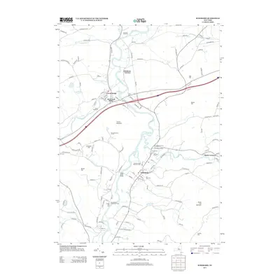
2013 Map of Schoharie
USGS Topo · Published 2013About this map
Schoharie and its neighboring hamlets follow the winding path of Schoharie Creek, where the valley's transport history remains visible through the Schoharie Valley Railroad Complex and the industrial layout of Schoharie Junction. The topography is defined by prominent peaks like Terrace Mountain and Schoharie Hill, which hem in the fertile corridors of Cobleskill Creek and Fox Creek. Local history is anchored by the Old Stone Fort, a surviving landmark of early settlement near the Old Stone Fort Cemetery.
Find a feature on this map
129 named features on this map. Tap any name to fly to it.
Don’t see what you’re looking for? This feature index may not catch every label — zoom into the map to look around manually.
Map Details
Editions of this 2013 Schoharie Map
This is the sole edition of this map. No revisions or reprints were ever made.
Other maps of this area

1895 · Amsterdam
USGS Topo · 1:62,500

1896 · Fonda
USGS Topo · 1:62,500

1898 · Fonda
USGS Topo · 1:62,500

1898 · Schoharie
USGS Topo · 1:62,500

1900 · Schoharie
USGS Topo · 1:62,500

1900 · Schoharie
USGS Topo · 1:31,680

1900 · Berne
USGS Topo · 1:62,500

1902 · Fonda
USGS Topo · 1:62,500

1903 · Berne
USGS Topo · 1:62,500

1931 · Amsterdam
USGS Topo · 1:62,500