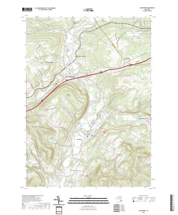
2023 Map of Schoharie
USGS Topo · Published 2023About this map
Schoharie Creek carves a winding path through this valley, defining the landscape and settlement patterns of central Schoharie County. The village of Schoharie serves as a civic anchor, centered around the Schoharie County Courthouse and historic burial grounds like Old Stone Fort Cem and Saint Pauls Cem. The confluence of Cobleskill Creek and the main river marks a corridor of transportation and industry, connecting Central Bridge and Old Central Bridge to the rail junction at Schoharie Junction.
Find a feature on this map
107 named features on this map. Tap any name to fly to it.
Don’t see what you’re looking for? This feature index may not catch every label — zoom into the map to look around manually.
Map Details
Editions of this 2023 Schoharie Map
This is the sole edition of this map. No revisions or reprints were ever made.
Other maps of this area
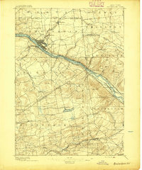
1895 · Amsterdam
USGS Topo · 1:62,500
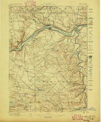
1896 · Fonda
USGS Topo · 1:62,500
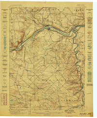
1898 · Fonda
USGS Topo · 1:62,500
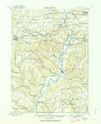
1898 · Schoharie
USGS Topo · 1:62,500
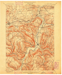
1900 · Schoharie
USGS Topo · 1:62,500
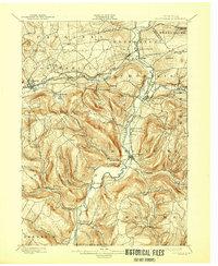
1900 · Schoharie
USGS Topo · 1:31,680
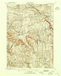
1900 · Berne
USGS Topo · 1:62,500
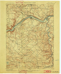
1902 · Fonda
USGS Topo · 1:62,500
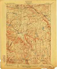
1903 · Berne
USGS Topo · 1:62,500
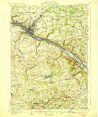
1931 · Amsterdam
USGS Topo · 1:62,500