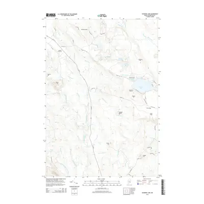
2014 Map of Schoodic Lake
USGS Topo · Published 2014About this map
The Narraguagus River and its various branches, such as the West Branch Narraguagus River, define the hydraulic landscape of this region in Washington County. This area is characterized by significant topographic relief, with Pineo Ridge and the Thousand Hills rising above the surrounding river valleys. Notable commercial land use is evident in the Blueberry Barrens near Schoodic Hill, a testament to the local agricultural economy of this part of Maine.
Find a feature on this map
66 named features on this map. Tap any name to fly to it.
Don’t see what you’re looking for? This feature index may not catch every label — zoom into the map to look around manually.
Map Details
Editions of this 2014 Schoodic Lake Map
This is the sole edition of this map. No revisions or reprints were ever made.
Other maps of this area

1902 · Cherryfield
USGS Topo · 1:62,500

1904 · Cherryfield
USGS Topo · 1:62,500

1929 · Lead Mountain
USGS Topo · 1:48,000

1930 · Tunk Lake
USGS Topo · 1:48,000

1932 · Tunk Lake
USGS Topo · 1:62,500

1932 · Lead Mountain
USGS Topo · 1:62,500

1941 · Tug Mountain
USGS Topo · 1:62,500

1942 · Cherryfield
USGS Topo · 1:62,500

1942 · Tunk Lake
USGS Topo · 1:62,500

1943 · Tug Mountain
USGS Topo · 1:62,500