
1947 Map of Schoodic
USGS Topo · Published 1956About this map
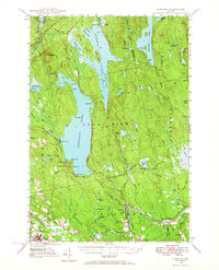
Seboeis Lake and the surrounding timberlands of Piscataquis and Penobscot counties define this mid-century landscape. The area is marked by a dual-rail corridor where the Bangor and Aroostook and Canadian Pacific lines converge near the town of Milo. To the north, the terrain becomes a complex network of waterways and ridges, including the prominent Schoodic Mtn and the sprawling One Thousand Acre Bog. Small lakeside outposts like Packards and Knights Landing suggest the era's recreational and seasonal economy, while the settlement at Medford and the Maxfield Sch anchor the year-round community along the river. The presence of features like Deadman Rock and The Tongue in Seboeis Lake highlights the specific local nomenclature of the Maine woods before modern development intensified.
Find a feature on this map
89 named features on this map. Tap any name to fly to it.
Don’t see what you’re looking for? This feature index may not catch every label — zoom into the map to look around manually.
Map Details
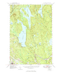
Editions of this 1947 Schoodic Map
Other maps of this area

1917 · Passadumkeag
USGS Topo · 1:62,500

1932 · Dover-Foxcroft
USGS Topo · 1:48,000

1933 · Boyd Lake
USGS Topo · 1:62,500

1935 · Dover-Foxcroft
USGS Topo · 1:62,500

1940 · Sebec
USGS Topo · 1:48,000

1942 · Lincoln
USGS Topo · 1:62,500

1943 · Sebec
USGS Topo · 1:62,500

1949 · Schoodic
USGS Topo · 1:62,500

1951 · Boyd Lake
USGS Topo · 1:50,000

1951 · Norcross
USGS Topo · 1:62,500