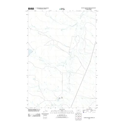
2011 Map of School Section Creek
USGS Topo · Published 2011About this map
The high plains of Carter County are defined by a network of seasonal drainages that converge across this corner of Montana. Central to the landscape is School Section Creek, which flows through an area dominated by cattle ranching and water management infrastructure. Local topography and water rights are evidenced by the presence of Gussie Number 2 Dam and Gussie Number 3 Dam, small-scale impoundments typical of this arid region. The drainage systems are complex, including the starkly named Dead Boy Creek and its North Fork, alongside Boxelder Creek and McCarty Creek. A few key gravel routes, such as Chimney Rock Rd and Old Hammond Rd, provide the primary access to these remote pastures and watershed features.
Find a feature on this map
13 named features on this map. Tap any name to fly to it.
Don’t see what you’re looking for? This feature index may not catch every label — zoom into the map to look around manually.
Map Details
Editions of this 2011 School Section Creek Map
This is the sole edition of this map. No revisions or reprints were ever made.
Other maps of this area

1954 · Ekalaka
USGS Topo · 1:250,000

1956 · Ekalaka
USGS Topo · 1:250,000

1958 · Ekalaka
USGS Topo · 1:250,000

1965 · Ekalaka
USGS Topo · 1:250,000

1979 · Dead Boy Divide
USGS Topo · 1:24,000

1979 · Ikey Creek
USGS Topo · 1:24,000

1980 · Taylor Hills
USGS Topo · 1:24,000

1980 · Belltower
USGS Topo · 1:24,000

1980 · Prairie Dog Creek
USGS Topo · 1:24,000

1980 · Belltower Butte
USGS Topo · 1:24,000