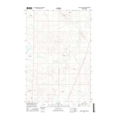
2017 Map of School Section Creek
USGS Topo · Published 2017About this map
School Section Creek winds through this expanse of southeastern Montana, anchoring a landscape defined by its intricate drainage networks and remote ranching access. This 2017 survey by the U.S. Geological Survey illustrates a region where water and topography dictate the movement of people and livestock. A series of deep drainages, including Dead Boy Creek and its North Fork, carve through the terrain, joined by others such as Cabin Creek and McCarty Creek. Local transportation relies on a sparse network of named routes, most notably Old Hammond Road and the Hansen Trail, which navigate the rises between Boxelder Creek and Catamount Creek. The absence of dense settlement highlights the area's continued use for large-scale grazing and open-range land management common in Carter County.
Find a feature on this map
21 named features on this map. Tap any name to fly to it.
Don’t see what you’re looking for? This feature index may not catch every label — zoom into the map to look around manually.
Map Details
Editions of this 2017 School Section Creek Map
This is the sole edition of this map. No revisions or reprints were ever made.
Other maps of this area

1954 · Ekalaka
USGS Topo · 1:250,000

1956 · Ekalaka
USGS Topo · 1:250,000

1958 · Ekalaka
USGS Topo · 1:250,000

1965 · Ekalaka
USGS Topo · 1:250,000

1979 · Dead Boy Divide
USGS Topo · 1:24,000

1979 · Ikey Creek
USGS Topo · 1:24,000

1980 · Taylor Hills
USGS Topo · 1:24,000

1980 · Belltower
USGS Topo · 1:24,000

1980 · Prairie Dog Creek
USGS Topo · 1:24,000

1980 · Belltower Butte
USGS Topo · 1:24,000