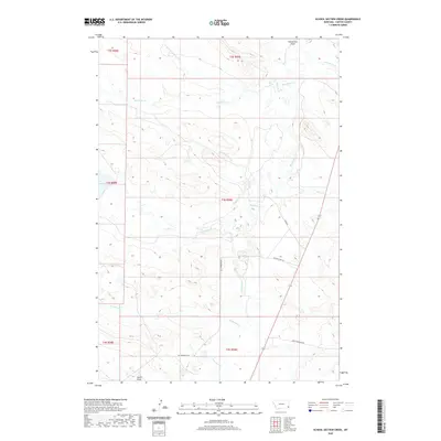
2020 Map of School Section Creek
USGS Topo · Published 2020About this map
School Section Creek winds through the high plains of Carter County, Montana, providing a life-giving drainage system for this sparsely populated ranching landscape. This modern survey illustrates the complex hydrology of the region, where watercourses like Dead Boy Creek and its North Fork define the local topography. The map reveals a network of rural routes, including Old Hammond Road and Larson Loop Road, which connect isolated sections of the Public Land Survey System. These roads often follow the natural contours created by features like Horsetrack Draw and Ewalt Draw, showing how early transportation patterns were dictated by the breaks and coulees of the Montana badlands. The prominence of Boxelder Creek and its many tributaries, such as Cabin Creek, suggests a landscape historically centered on water access for livestock and local homesteads.
Find a feature on this map
21 named features on this map. Tap any name to fly to it.
Don’t see what you’re looking for? This feature index may not catch every label — zoom into the map to look around manually.
Map Details
Editions of this 2020 School Section Creek Map
This is the sole edition of this map. No revisions or reprints were ever made.
Other maps of this area

1954 · Ekalaka
USGS Topo · 1:250,000

1956 · Ekalaka
USGS Topo · 1:250,000

1958 · Ekalaka
USGS Topo · 1:250,000

1965 · Ekalaka
USGS Topo · 1:250,000

1979 · Dead Boy Divide
USGS Topo · 1:24,000

1979 · Ikey Creek
USGS Topo · 1:24,000

1980 · Taylor Hills
USGS Topo · 1:24,000

1980 · Belltower
USGS Topo · 1:24,000

1980 · Prairie Dog Creek
USGS Topo · 1:24,000

1980 · Belltower Butte
USGS Topo · 1:24,000