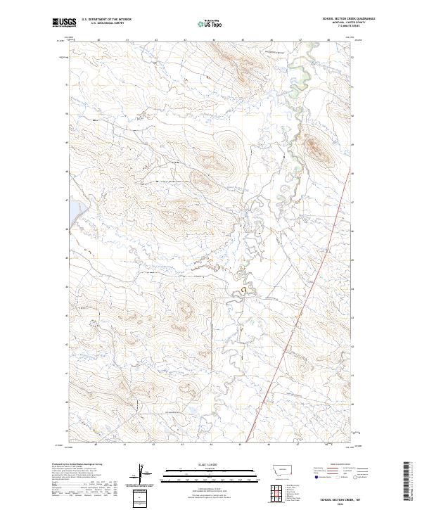
2024 Map of School Section Creek
USGS Topo · Published 2024About this map
The drainage basins of southeastern Carter County characterize this landscape, where numerous seasonal waterways carve through the terrain. School Section Creek and Boxelder Creek are central to this network, illustrating the complex hydrology of the High Plains where water is a defining feature of the topography. The map reveals the imprint of ranching and land management through labeled routes like Larson Loop Rd and Old Hammond Rd, which connect remote sections across this section of Montana.
Find a feature on this map
20 named features on this map. Tap any name to fly to it.
Don’t see what you’re looking for? This feature index may not catch every label — zoom into the map to look around manually.
Map Details
Editions of this 2024 School Section Creek Map
This is the sole edition of this map. No revisions or reprints were ever made.
Other maps of this area

1954 · Ekalaka
USGS Topo · 1:250,000

1956 · Ekalaka
USGS Topo · 1:250,000

1958 · Ekalaka
USGS Topo · 1:250,000

1965 · Ekalaka
USGS Topo · 1:250,000

1979 · Dead Boy Divide
USGS Topo · 1:24,000

1979 · Ikey Creek
USGS Topo · 1:24,000

1980 · Taylor Hills
USGS Topo · 1:24,000

1980 · Belltower
USGS Topo · 1:24,000

1980 · Prairie Dog Creek
USGS Topo · 1:24,000

1980 · Belltower Butte
USGS Topo · 1:24,000