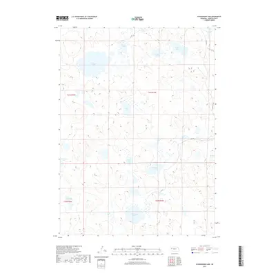
2017 Map of Schoonover Lake
USGS Topo · Published 2017About this map
Schoonover Lake and numerous other interdunal basins dominate this portion of the Nebraska Sandhills in Garden County. The landscape is defined by its lack of established settlements, instead showing a vast network of hydrologic features such as Stockholm Lake, Sandbeach Lake, and Herman Lake. This 2017 survey by the U.S. Geological Survey illustrates the complex wetland environment where water collects in the low points between grass-covered dunes. Human intervention is sparse, limited primarily to cattle-country infrastructure like Lakeside Rd, RD 128, and RD 138. The arrangement of these water bodies, including the Patterson Lakes and Bluebaker Lake, reflects the unique geology of the region, where the high water table intersects the surface topography to create an essential habitat for migratory birds and local ranching operations.
Find a feature on this map
21 named features on this map. Tap any name to fly to it.
Don’t see what you’re looking for? This feature index may not catch every label — zoom into the map to look around manually.
Map Details
Editions of this 2017 Schoonover Lake Map
This is the sole edition of this map. No revisions or reprints were ever made.
Other maps of this area

1896 · Browns Creek
USGS Topo · 1:125,000

1899 · Browns Creek
USGS Topo · 1:125,000

1948 · Antioch
USGS Topo · 1:62,500

1948 · Lakeside
USGS Topo · 1:62,500

1949 · Mumper
USGS Topo · 1:62,500

1949 · Antioch
USGS Topo · 1:62,500

1950 · Storm Lake
USGS Topo · 1:62,500

1950 · Lakeside
USGS Topo · 1:62,500

1954 · Scottsbluff
USGS Topo · 1:250,000

1955 · Alliance
USGS Topo · 1:250,000