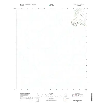
2019 Map of Schroder Arroyo OE S
USGS Topo · Published 2019About this map
The Rio Grande flows through the northeastern corner of this borderland area, defining the international boundary between the United States and Mexico. This reach of the river is characterized by dynamic fluvial features, including the presence of an Oxbow Lake and shifting wetlands adjacent to the main channel. While much of the landscape is dominated by the complex drainage patterns of the arid terrain, the map identifies Indian Hot Spring Rd as a primary point of access in Hudspeth County. The proximity of the river to these geothermal-associated landmarks highlights a specific point of geological and historical interest in this secluded section of the West Texas frontier.
Find a feature on this map
4 named features on this map. Tap any name to fly to it.
Don’t see what you’re looking for? This feature index may not catch every label — zoom into the map to look around manually.
Map Details
Editions of this 2019 Schroder Arroyo OE S Map
This is the sole edition of this map. No revisions or reprints were ever made.
Other maps of this area

1897 · Eagle Mountain
USGS Topo · 1:125,000

1916 · Eagle Mountain
USGS Topo · 1:125,000

1959 · Marfa
USGS Topo · 1:250,000

1965 · Marfa
USGS Topo · 1:250,000
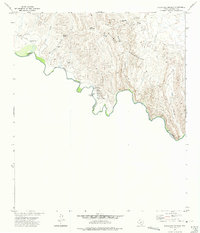
1972 · Indian Hot Springs
USGS Topo · 1:24,000
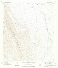
1972 · Cedar Arroyo
USGS Topo · 1:24,000
1984 · Indian Hot Springs
USGS Topo · 1:100,000
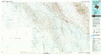
1993 · Indian Hot Springs
USGS Topo · 1:100,000
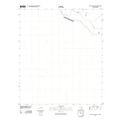
2010 · Neely Canyon OE S
USGS Topo · 1:24,000
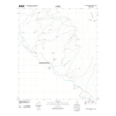
2010 · Schroder Arroyo
USGS Topo · 1:24,000