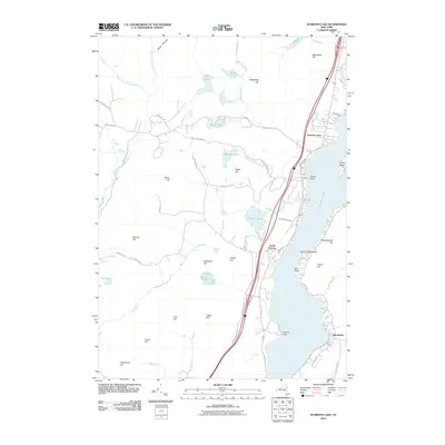
2010 Map of Schroon Lake
USGS Topo · Published 2010About this map
Adirondack Park dominates the landscape of this 2010 survey, showcasing the complex glacial topography and water systems of the eastern Adirondack region. The settlement of South Schroon serves as a focal point along the western corridor of Schroon Lake, where modern transportation routes like S Schroon Rd and Vanderwalker Rd parallel the shoreline. The lake itself is defined by distinct landmarks such as The Narrows, Grove Point, and Taylors Point, indicating a long history of water-based navigation and seasonal recreation.
Find a feature on this map
57 named features on this map. Tap any name to fly to it.
Don’t see what you’re looking for? This feature index may not catch every label — zoom into the map to look around manually.
Map Details
Editions of this 2010 Schroon Lake Map
This is the sole edition of this map. No revisions or reprints were ever made.
Other maps of this area

1895 · North Creek
USGS Topo · 1:62,500

1895 · Paradox Lake
USGS Topo · 1:62,500

1897 · Bolton
USGS Topo · 1:62,500

1897 · Paradox Lake
USGS Topo · 1:62,500

1897 · North Creek
USGS Topo · 1:62,500

1897 · Schroon Lake
USGS Topo · 1:62,500

1900 · Bolton
USGS Topo · 1:62,500

1950 · Glens Falls
USGS Topo · 1:250,000
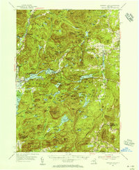
1953 · Paradox Lake
USGS Topo · 1:62,500

1953 · Schroon Lake
USGS Topo · 1:62,500