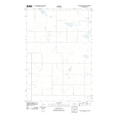
2011 Map of Schumacher Lake NE
USGS Topo · Published 2011About this map
Tschetter Lake and the winding course of Spring Creek define the prairie landscape of this McIntosh County region along the border between North Dakota and South Dakota. In the northeastern corner, Saint James Cemetery stands as a focal point for genealogical research, while the area is gridded by a network of rural roads such as 54th Ave SE and 104th St. One of the most historically evocative features is the path of Old Sioux Rd, which cuts across the modern township section lines in the southeast. This survey, compiled from data through 2011, records a sparsely populated agricultural landscape where family landmarks and small water bodies provide the primary orientation points for local history.
Find a feature on this map
24 named features on this map. Tap any name to fly to it.
Don’t see what you’re looking for? This feature index may not catch every label — zoom into the map to look around manually.
Map Details
Editions of this 2011 Schumacher Lake NE Map
This is the sole edition of this map. No revisions or reprints were ever made.
Other maps of this area

1953 · Jamestown
USGS Topo · 1:250,000

1954 · Aberdeen
USGS Topo · 1:250,000

1956 · Aberdeen
USGS Topo · 1:250,000

1956 · Jamestown
USGS Topo · 1:250,000

1968 · Long Lake
USGS Topo · 1:24,000

1968 · Long Lake NW
USGS Topo · 1:24,000

1978 · Wolff Lake
USGS Topo · 1:24,000

1978 · Schumacher Lake
USGS Topo · 1:24,000

1978 · Schumacher Lake SW
USGS Topo · 1:24,000

1978 · Schumacher Lake NE
USGS Topo · 1:24,000