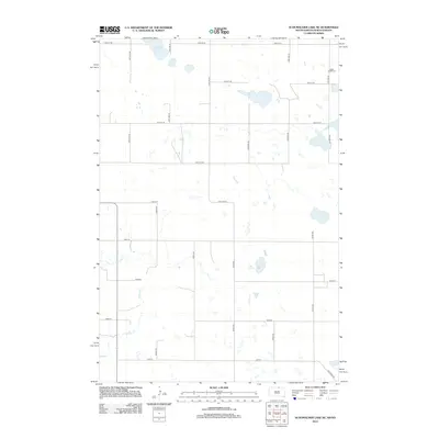
2012 Map of Schumacher Lake NE
USGS Topo · Published 2012About this map
Saint James Cem sits near the northeastern boundary of this Dakota prairie landscape, marking a quiet point of local genealogy in a region defined by its wide section-line grid. The terrain is characterized by numerous seasonal wetlands and small basins typical of the Missouri Coteau, with Tschetter Lake and the winding course of Spring Cr providing the primary hydrologic features. The map illustrates a strictly rural settlement pattern where long stretches of roads like 342nd Ave and 100th St SE connect isolated farmsteads. A notable historical trace is found in the southeast corner with Old Sioux Rd, a named thoroughfare that cuts diagonally across the otherwise rigid north-south township and range organization, suggesting an older route of travel that predates the modern agricultural grid.
Find a feature on this map
25 named features on this map. Tap any name to fly to it.
Don’t see what you’re looking for? This feature index may not catch every label — zoom into the map to look around manually.
Map Details
Editions of this 2012 Schumacher Lake NE Map
This is the sole edition of this map. No revisions or reprints were ever made.
Other maps of this area

1953 · Jamestown
USGS Topo · 1:250,000

1954 · Aberdeen
USGS Topo · 1:250,000

1956 · Aberdeen
USGS Topo · 1:250,000

1956 · Jamestown
USGS Topo · 1:250,000

1968 · Long Lake
USGS Topo · 1:24,000

1968 · Long Lake NW
USGS Topo · 1:24,000

1978 · Wolff Lake
USGS Topo · 1:24,000

1978 · Schumacher Lake
USGS Topo · 1:24,000

1978 · Schumacher Lake SW
USGS Topo · 1:24,000

1978 · Schumacher Lake NE
USGS Topo · 1:24,000