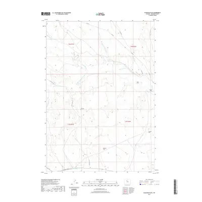
2017 Map of Schuster Flats
USGS Topo · Published 2017About this map
Fifteenmile Creek and its many branches define this arid stretch of Washakie County, carving a network of drainages across the landscape. The convergence of the North Fork, Middle Fork, and South Fork tributaries creates a complex topography of erosional features, including the prominent Basin Draw and Butler Draw. In the southern portion of the map, Schuster Flats offers a rare expanse of level ground above the deep incision of Schuster Draw.
Find a feature on this map
18 named features on this map. Tap any name to fly to it.
Don’t see what you’re looking for? This feature index may not catch every label — zoom into the map to look around manually.
Map Details
Editions of this 2017 Schuster Flats Map
This is the sole edition of this map. No revisions or reprints were ever made.
Other maps of this area

1914 · Blue Mesa
USGS Topo · 1:62,500

1916 · Blue Mesa
USGS Topo · 1:62,500

1945 · Kirby
USGS Topo · 1:62,500

1946 · Kirby
USGS Topo · 1:62,500

1951 · Sucker Dam
USGS Topo · 1:24,000

1951 · Schuster Flats NE
USGS Topo · 1:24,000

1951 · Dutch Nick Flat
USGS Topo · 1:24,000

1951 · Schuster Flats
USGS Topo · 1:24,000

1951 · Schuster Flats NW
USGS Topo · 1:24,000

1951 · Schuster Flats SE
USGS Topo · 1:24,000