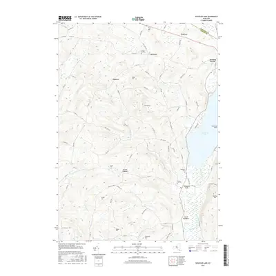
2016 Map of Schuyler Lake
USGS Topo · Published 2016About this map
Canadarago Lake dominates the eastern edge of this landscape, its waters drained by Oaks Creek near the settlement of Schuyler Lake. The terrain is defined by a series of prominent rises including Pray Hill, Hawk Hill, and Pigeon Hill, which separate the various creek valleys. This topography influenced the placement of numerous small crossroads communities such as Exeter Corner, Dogtown, and Lidell Corners.
Find a feature on this map
81 named features on this map. Tap any name to fly to it.
Don’t see what you’re looking for? This feature index may not catch every label — zoom into the map to look around manually.
Map Details
Editions of this 2016 Schuyler Lake Map
This is the sole edition of this map. No revisions or reprints were ever made.
Other maps of this area
1903 · Richfield Springs
USGS Topo · 1:62,500
1907 · Winfield
USGS Topo · 1:62,500
1907 · Cooperstown
USGS Topo · 1:62,500
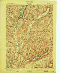
1909 · Cooperstown
USGS Topo · 1:62,500
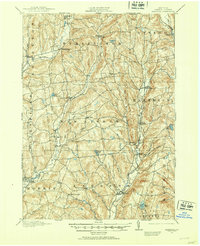
1910 · Hartwick
USGS Topo · 1:62,500
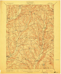
1912 · Hartwick
USGS Topo · 1:62,500
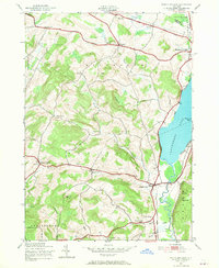
1943 · Schuyler Lake
USGS Topo · 1:24,000
1943 · Jordanville
USGS Topo · 1:24,000
1943 · Richfield Springs
USGS Topo · 1:24,000
1943 · Millers Mills
USGS Topo · 1:24,000