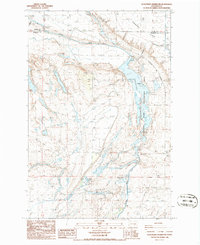
1986 Map of Scooteney Reservoir
USGS Topo · Published 1986About this map
Scooteney Reservoir and the adjacent Paradise Flats dominate this mid-1980s landscape at the boundary of Adams and Franklin Counties. The map reveals a highly engineered water management and energy system, characterized by the Potholes Canal, the Russell D Smith Powerplant, and the Scooteney Substation. This infrastructure supports a regional agricultural and power network, with numerous storage bins and transmission lines crisscrossing the terrain.
Find a feature on this map
27 named features on this map. Tap any name to fly to it.
Don’t see what you’re looking for? This feature index may not catch every label — zoom into the map to look around manually.
Map Details
Editions of this 1986 Scooteney Reservoir Map
This is the sole edition of this map. No revisions or reprints were ever made.
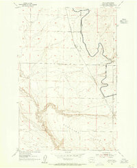
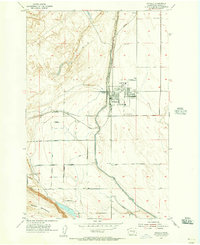
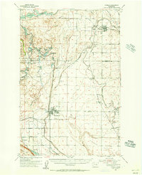
Other maps of this area

1916 · Connell
USGS Topo · 1:125,000

1918 · Connell
USGS Topo · 1:125,000

1924 · Othello
USGS Topo · 1:62,500

1925 · Scooteney Lake
USGS Topo · 1:62,500

1951 · Scooteney Lake
USGS Topo · 1:62,500

1953 · Walla Walla
USGS Topo · 1:250,000
1954 · Bruce
USGS Topo · 1:24,000
1954 · Othello
USGS Topo · 1:24,000
1954 · Othello
USGS Topo · 1:62,500

1958 · Walla Walla
USGS Topo · 1:250,000