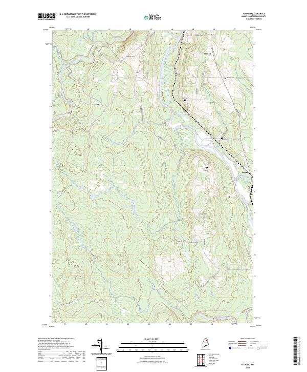
2024 Map of Scopan
USGS Topo · Published 2024About this map
Ashland and the smaller settlement of Scopan occupy this northern Maine landscape where the Aroostook River winds through dense woodlands and wetlands. The geography is defined by its water systems, including the Machias River, Scopan Stream, and several smaller tributaries like Trout Brook and Horse Brook. While much of the terrain is low-lying, notable elevations such as Young Hill and Grove Hill rise above the river valley. The region's history is reflected in several scattered burial grounds, including Winslow Cem, Alieff Cem, Rafford Cem, and Robinson Cem, often located near rural roads like Masardis Rd and Garfield Rd. A network of logging and farm roads, such as Lynchs Tote Rd and Craig Camp Rd, suggests the area's ongoing reliance on timber and agriculture.
Find a feature on this map
36 named features on this map. Tap any name to fly to it.
Don’t see what you’re looking for? This feature index may not catch every label — zoom into the map to look around manually.
Map Details
Editions of this 2024 Scopan Map
This is the sole edition of this map. No revisions or reprints were ever made.
Other maps of this area

1930 · Greenlaw
USGS Topo · 1:48,000

1931 · Ashland
USGS Topo · 1:48,000

1933 · Greenlaw
USGS Topo · 1:62,500

1934 · Ashland
USGS Topo · 1:62,500

1940 · Oxbow
USGS Topo · 1:62,500

1942 · Oxbow
USGS Topo · 1:62,500

1953 · Ashland
USGS Topo · 1:62,500

1954 · Grand Lake Seboeis
USGS Topo · 1:62,500

1954 · Presque Isle
USGS Topo · 1:250,000

1958 · Presque Isle
USGS Topo · 1:250,000