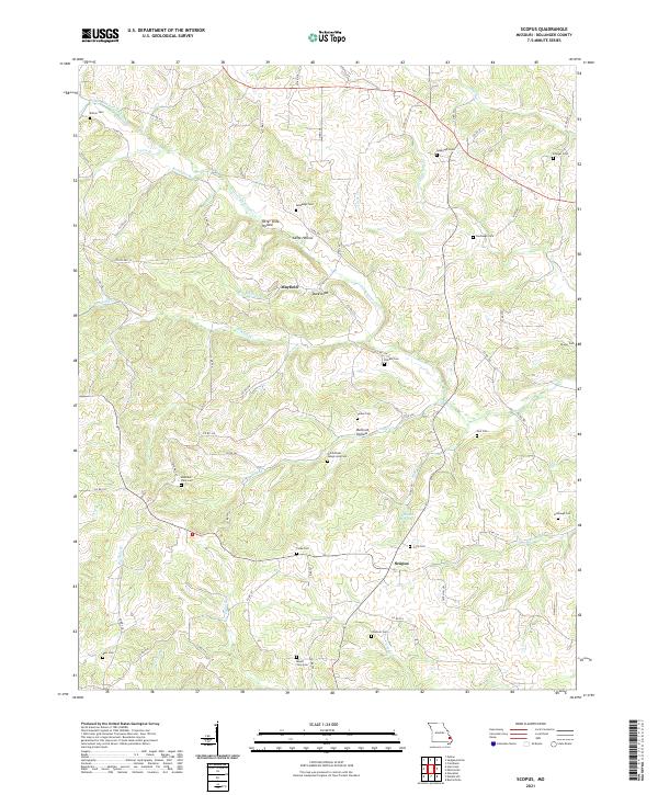
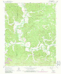
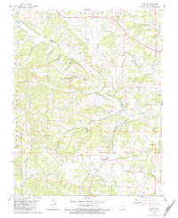
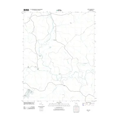
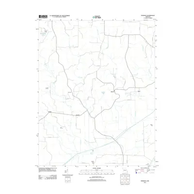
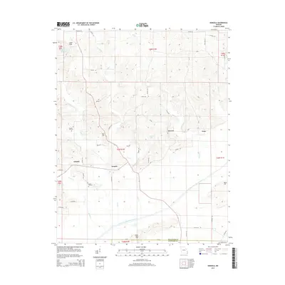
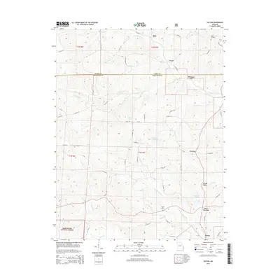
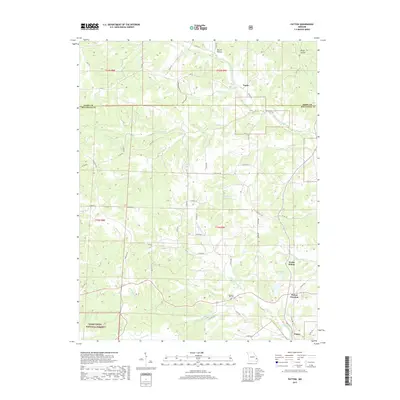
2021 Map of Scopus
USGS Topo · Published 2021About this map
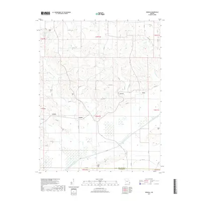
Scopus and Mayfield serve as the primary nodes of activity in this rural Bollinger County landscape, where the pattern of human settlement is deeply tied to the winding drainage of the Little Whitewater Cr and its numerous tributaries. The map reveals a dense distribution of family and community burial grounds, such as the Old Pulliam - Judge Long Cem and Limbaugh Cem, which offer significant value for genealogical research. The terrain is defined by a network of hollows and ridges, including Otter Slide Hollow and Camp Hollow, pointing toward a historically timber-driven or agricultural economy. Natural features like Stillhouse Spring and landmarks such as Buck Knob provide additional context for the local geography, while a spiderweb of county roads like Co RD 344 connects the scattered farmsteads and homes across the dissected plateau.
Find a feature on this map
81 named features on this map. Tap any name to fly to it.
Don’t see what you’re looking for? This feature index may not catch every label — zoom into the map to look around manually.
Map Details
Editions of this 2021 Scopus Map
This is the sole edition of this map. No revisions or reprints were ever made.
Historical Maps of Scopus Through Time
43 maps found

1959 Patton
Bollinger County, MO
1963 Dongola
Bollinger County, MO
1963 Gipsy
Bollinger County, MO
1963 Sturdivant
Bollinger County, MO
1964 Gipsy
Bollinger County, MO
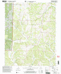
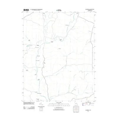
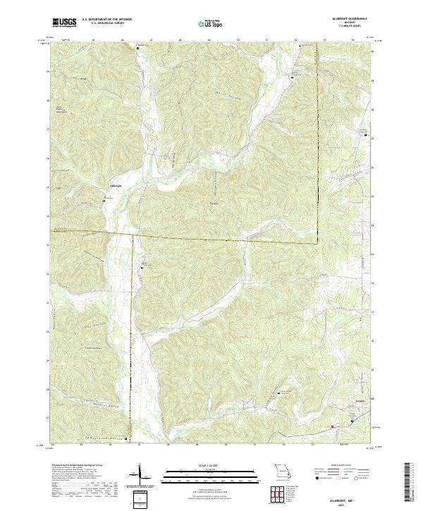
1980 Allbright
Bollinger County, MO
1980 Glenallen
Bollinger County, MO
1980 Hurricane
Bollinger County, MO
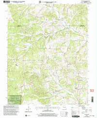
1980 Scopus
Bollinger County, MO
2000 Hurricane
Bollinger County, MO
2000 Patton
Bollinger County, MO
2011 Allbright
Bollinger County, MO
2011 Gipsy
Bollinger County, MO
2011 Glenallen
Bollinger County, MO
2011 Hurricane
Bollinger County, MO
2011 Patton
Bollinger County, MO
2012 Dongola
Bollinger County, MO
2012 Scopus
Bollinger County, MO
2012 Sturdivant
Bollinger County, MO
2015 Allbright
Bollinger County, MO
2015 Dongola
Bollinger County, MO
2015 Gipsy
Bollinger County, MO
2015 Glenallen
Bollinger County, MO
2015 Hurricane
Bollinger County, MO
2015 Patton
Bollinger County, MO
2015 Scopus
Bollinger County, MO
2015 Sturdivant
Bollinger County, MO
2017 Allbright
Bollinger County, MO
2017 Dongola
Bollinger County, MO
2017 Gipsy
Bollinger County, MO
2017 Glenallen
Bollinger County, MO
2017 Hurricane
Bollinger County, MO
2017 Patton
Bollinger County, MO
2017 Scopus
Bollinger County, MO
2017 Sturdivant
Bollinger County, MO
2021 Allbright
Bollinger County, MO
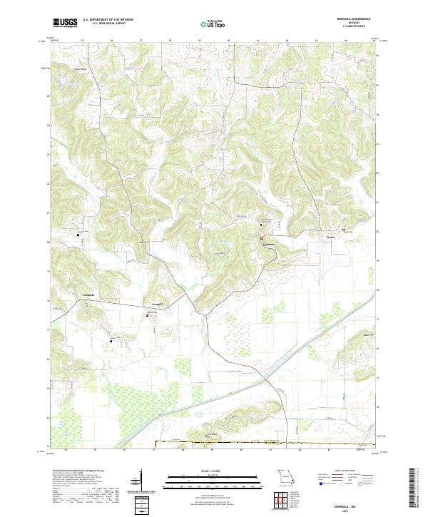
2021 Dongola
Bollinger County, MO
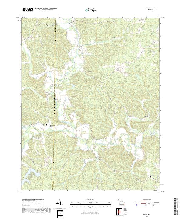
2021 Gipsy
Bollinger County, MO
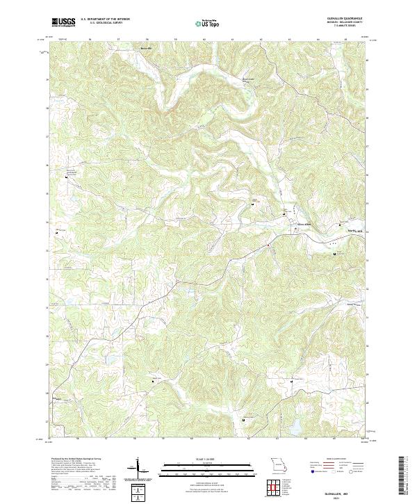
2021 Glenallen
Bollinger County, MO
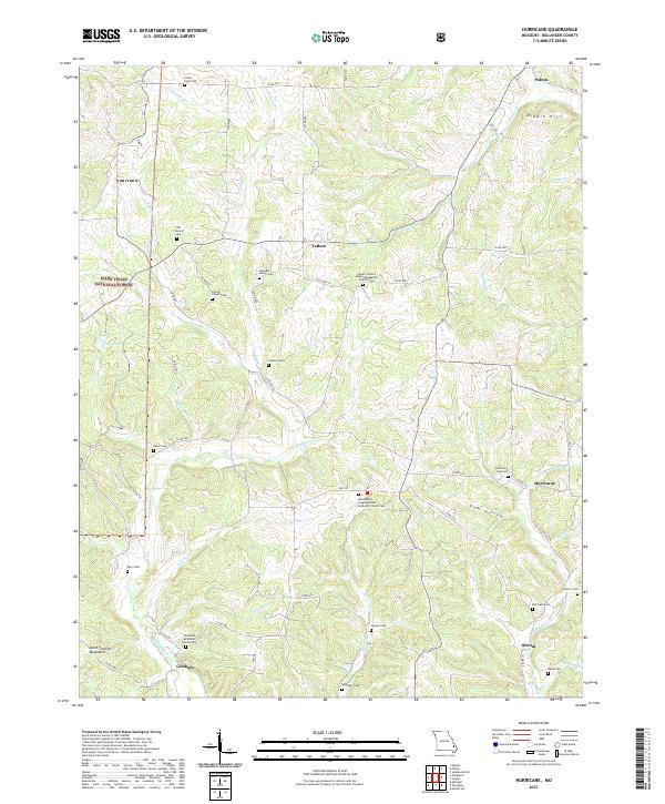
2021 Hurricane
Bollinger County, MO
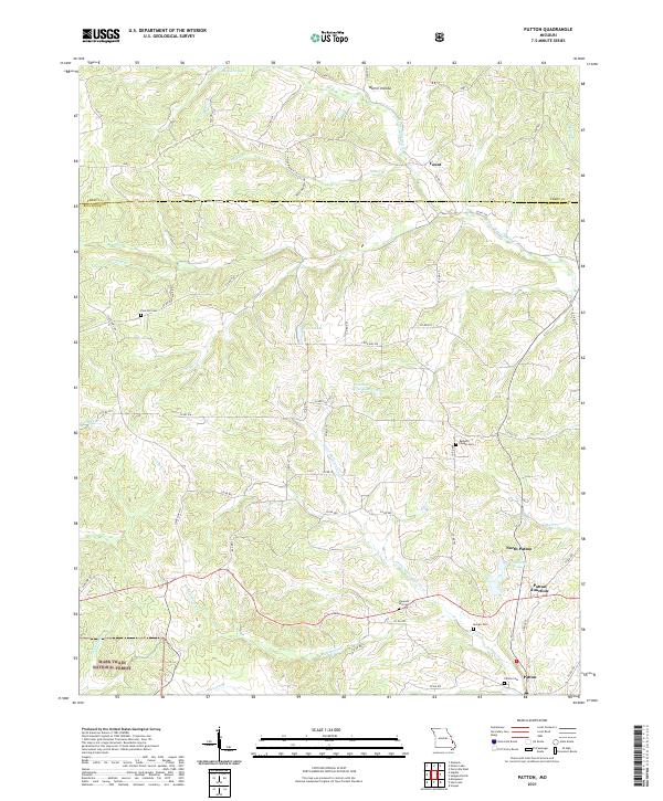
2021 Patton
Bollinger County, MO
2021 Scopus
Bollinger County, MO
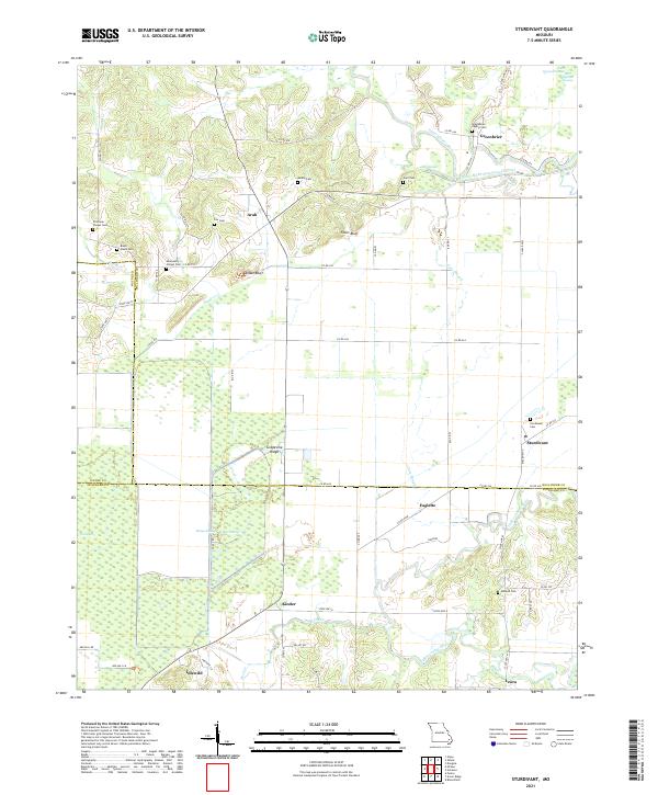
2021 Sturdivant
Bollinger County, MO