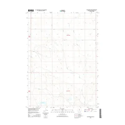
2015 Map of Scotchman Lake
USGS Topo · Published 2015About this map
Scotchman Lake and the drainage of Peck Cr define this section of Bennett County, characterized by the intermittent water sources and low-lying basins typical of the western Great Plains. The 2015 survey reveals a sparse network of section-line roads and named tracks like Ringneck Ln and Swan Rd, which navigate the subtle topography of the Sandhills region. Apart from Rose Springs, the landscape is primarily organized by the Public Land Survey System, with the boundaries of t36n r35w and surrounding townships providing the structural grid for this cattle-country terrain. The naming of local routes after indigenous wildlife, such as Teal Ln and Wren Ln, highlights the area's ecological character and its importance to the regional hunting and ranching heritage.
Find a feature on this map
18 named features on this map. Tap any name to fly to it.
Don’t see what you’re looking for? This feature index may not catch every label — zoom into the map to look around manually.
Map Details
Editions of this 2015 Scotchman Lake Map
This is the sole edition of this map. No revisions or reprints were ever made.
Other maps of this area

1951 · Merriman
USGS Topo · 1:62,500

1952 · Eli
USGS Topo · 1:62,500

1955 · Martin
USGS Topo · 1:250,000

1957 · Valentine
USGS Topo · 1:250,000

1958 · Martin
USGS Topo · 1:250,000

1959 · Valentine
USGS Topo · 1:250,000

1981 · Phantom Lake
USGS Topo · 1:25,000

1981 · Martin
USGS Topo · 1:25,000

1981 · Scotchman Lake
USGS Topo · 1:25,000

1981 · Tuthill
USGS Topo · 1:25,000