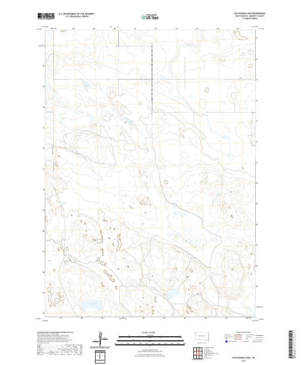
2021 Map of Scotchman Lake
USGS Topo · Published 2021About this map
Scotchman Lake and the intermittent flow of Peck Cr define this pocket of Bennett County, where the High Plains environment transitions through a series of wetlands and small water bodies. The landscape is marked by the natural artesian output of Rose Springs in the western reaches, providing a vital water source in an area dominated by cattle ranching and large-scale land divisions. The grid of the Public Land Survey System is clearly visible, with section lines and township boundaries such as t36n r35w and t35n r35w organizing the territory. Transportation is limited to functional rural corridors like the Tuthill-Eli Rd and Eli Rd, which connect isolated homesteads and grazing lands. In the southeast corner, the drainage of Hay Cr further emphasizes the importance of hydrology in this Nebraska-border region of South Dakota.
Find a feature on this map
12 named features on this map. Tap any name to fly to it.
Don’t see what you’re looking for? This feature index may not catch every label — zoom into the map to look around manually.
Map Details
Editions of this 2021 Scotchman Lake Map
This is the sole edition of this map. No revisions or reprints were ever made.
Other maps of this area

1951 · Merriman
USGS Topo · 1:62,500

1952 · Eli
USGS Topo · 1:62,500

1955 · Martin
USGS Topo · 1:250,000

1957 · Valentine
USGS Topo · 1:250,000

1958 · Martin
USGS Topo · 1:250,000

1959 · Valentine
USGS Topo · 1:250,000

1981 · Phantom Lake
USGS Topo · 1:25,000

1981 · Martin
USGS Topo · 1:25,000

1981 · Scotchman Lake
USGS Topo · 1:25,000

1981 · Tuthill
USGS Topo · 1:25,000