Loading...
Loading map...2021 Map of Scotia
USGS Topo · Published 2021About this map
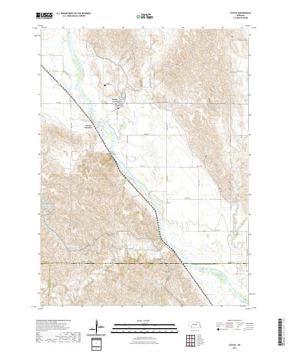
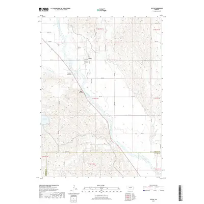
Scotia sits on the western banks of the North Loup River, serving as a central hub in this agricultural landscape. The town is marked by a grid including Scotia Ave and Main St, while the nearby Mount Hope Cem provides a point of interest for genealogists researching family ties in the valley. The terrain is defined by the river’s wide floodplain and the surrounding hills, including the prominent Happy Jack Peak and the engineered waters of the Ord-North Loup Canal.
Find a feature on this map
49 named features on this map. Tap any name to fly to it.
Don’t see what you’re looking for? This feature index may not catch every label — zoom into the map to look around manually.
Map Details
Date Portrayed2021
Date Published2021
PublisherU.S. Geological Survey
Map TypeTopographic
Scale1:24,000
Physical Dimensions24 x 29 inches
Editions of this 2021 Scotia Map
This is the sole edition of this map. No revisions or reprints were ever made.
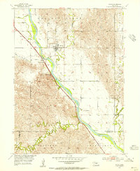
Historical Maps of Scotia Through Time
5 maps found
Featured Locations
Source Details
SourceU.S. Geological Survey
CopyrightPublic Domain