Loading...
Loading map...1950 Map of Scotia
USGS Topo · Published 1965About this map
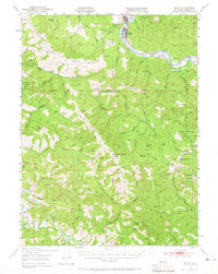
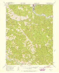
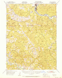
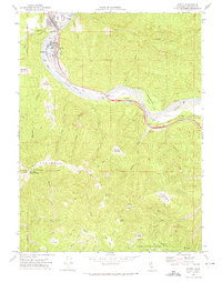
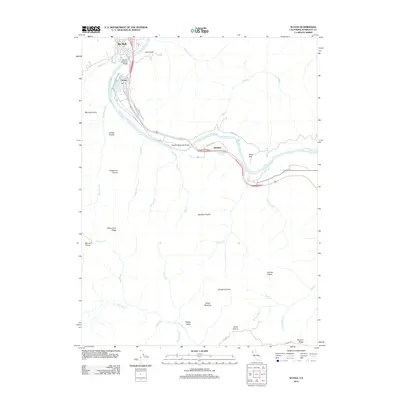
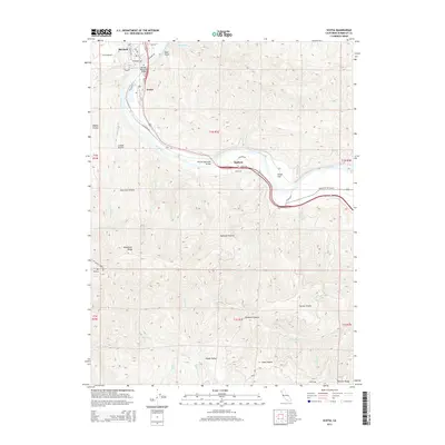
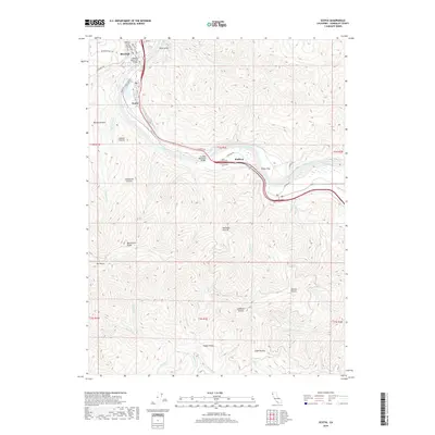
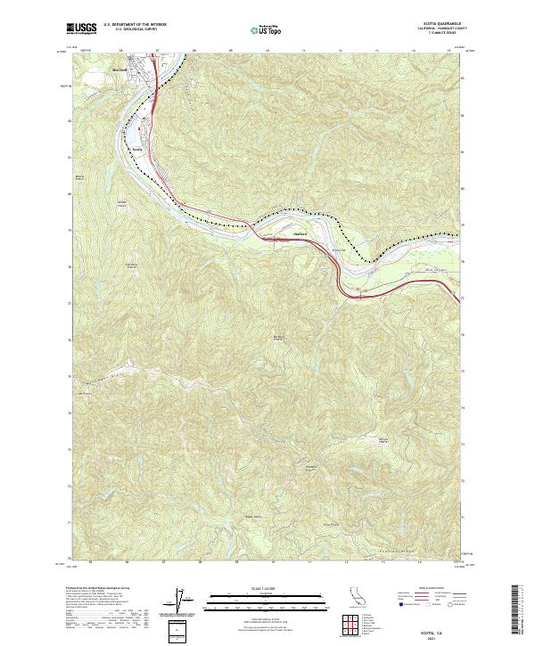
The Eel River and Mattole River define the winding, mountainous geography of southern Humboldt County in this 1950 field-checked survey. The lumber town of Scotia and neighboring Rio Dell serve as the primary hubs of activity, linked by the Northwestern Pacific railroad corridor which follows the river's bend toward Stafford and Elinor. Beyond the river valleys, the landscape is defined by massive ridges, including Bear River Ridge and Rainbow Ridge, with Mt Pierce and South Rainbow Peak as prominent anchors.
Find a feature on this map
64 named features on this map. Tap any name to fly to it.
Don’t see what you’re looking for? This feature index may not catch every label — zoom into the map to look around manually.
Map Details
Date Portrayed1950
Date Published1965
PublisherU.S. Geological Survey
Map TypeTopographic
Scale1:62,500
Physical Dimensions16.6 x 20.8 inches
Editions of this 1950 Scotia Map
2 editions found
Historical Maps of Rio Dell Through Time
7 maps found
Featured Locations
Source Details
SourceU.S. Geological Survey
CopyrightPublic Domain