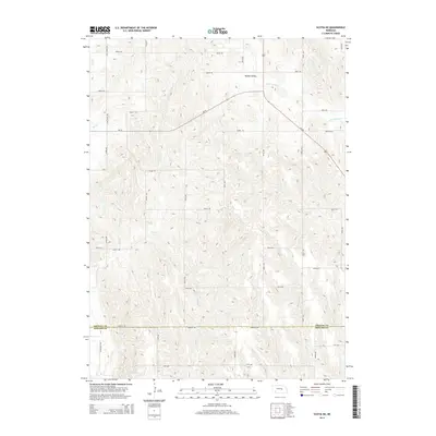
2014 Map of Scotia NE
USGS Topo · Published 2014About this map
Boston Valley anchors the northern reaches of this landscape along the border of Greeley and Howard counties. The terrain is defined by a dense network of watercourses, including the south-flowing Moffet Cr and Munson Cr, which carve through the Nebraska hills. A notable historical waypoint, the Deadwood Trl, cuts across the southwestern corner, reflecting the region's legacy of early transit and westward movement.
Find a feature on this map
23 named features on this map. Tap any name to fly to it.
Don’t see what you’re looking for? This feature index may not catch every label — zoom into the map to look around manually.
Map Details
Editions of this 2014 Scotia NE Map
This is the sole edition of this map. No revisions or reprints were ever made.
Other maps of this area

1899 · Loup
USGS Topo · 1:125,000

1899 · St. Paul
USGS Topo · 1:125,000

1953 · Cotesfield
USGS Topo · 1:24,000

1953 · Scotia NE
USGS Topo · 1:24,000

1953 · Scotia
USGS Topo · 1:24,000

1953 · Elba
USGS Topo · 1:24,000

1954 · Horace
USGS Topo · 1:24,000

1954 · Greeley
USGS Topo · 1:24,000

1954 · Spalding SW
USGS Topo · 1:24,000

1954 · Wolbach
USGS Topo · 1:24,000