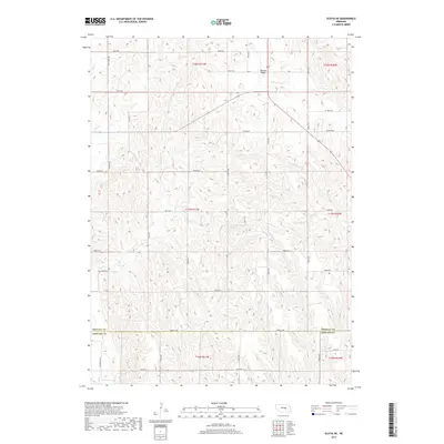
2017 Map of Scotia NE
USGS Topo · Published 2017About this map
Boston Valley sits at the northern edge of this landscape, where the agricultural grid of central Nebraska meets a complex network of seasonal drainages. The area is defined by the transition between Greeley County and Howard County, with the terrain dissected by numerous watercourses including Cedar Creek, Moffet Creek, and Munson Creek. These creeks dictate the winding paths of rural roads like Salem Rd and Naper Rd, which deviate from the standard section lines to follow the natural contours of the land. In the southwest corner, the Deadwood Trl provides a tangible link to historical transit routes through the region. The map captures a moment of modern rural organization, showing the intricate network of numbered roads and avenues that serve the farmsteads and valleys between Fish Creek and the W Br Spring Creek drainage.
Find a feature on this map
38 named features on this map. Tap any name to fly to it.
Don’t see what you’re looking for? This feature index may not catch every label — zoom into the map to look around manually.
Map Details
Editions of this 2017 Scotia NE Map
This is the sole edition of this map. No revisions or reprints were ever made.
Other maps of this area

1899 · Loup
USGS Topo · 1:125,000

1899 · St. Paul
USGS Topo · 1:125,000

1953 · Cotesfield
USGS Topo · 1:24,000

1953 · Scotia NE
USGS Topo · 1:24,000

1953 · Scotia
USGS Topo · 1:24,000

1953 · Elba
USGS Topo · 1:24,000

1954 · Horace
USGS Topo · 1:24,000

1954 · Greeley
USGS Topo · 1:24,000

1954 · Spalding SW
USGS Topo · 1:24,000

1954 · Wolbach
USGS Topo · 1:24,000