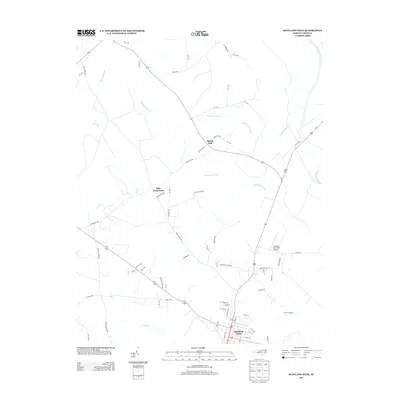
2013 Map of Scotland Neck
USGS Topo · Published 2013About this map
Scotland Neck serves as the primary hub of this eastern North Carolina landscape, where the grid of the town meets the complex hydrology of the Coastal Plain. The geography is defined by significant wetlands, most notably the Kehukee Swamp and Cypress Swamp, which dominate the drainage patterns south of the Roanoke River. These low-lying areas are fed by numerous small tributaries like Looking Glass Run and Deep Creek, shaping the rural road network and settlement locations.
Find a feature on this map
52 named features on this map. Tap any name to fly to it.
Don’t see what you’re looking for? This feature index may not catch every label — zoom into the map to look around manually.
Map Details
Editions of this 2013 Scotland Neck Map
This is the sole edition of this map. No revisions or reprints were ever made.
Other maps of this area

1953 · Norfolk
USGS Topo · 1:250,000

1960 · Dawson Crossroads
USGS Topo · 1:24,000

1960 · Draughn
USGS Topo · 1:24,000

1962 · Palmyra
USGS Topo · 1:24,000

1962 · Scotland Neck
USGS Topo · 1:24,000

1962 · Norfleet
USGS Topo · 1:24,000

1962 · Hobgood
USGS Topo · 1:24,000

1974 · Halifax
USGS Topo · 1:24,000

1974 · Boones Crossroads
USGS Topo · 1:24,000

1974 · Rich Square
USGS Topo · 1:24,000