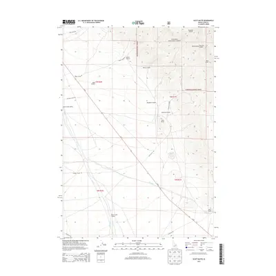
2013 Map of Scott Butte
USGS Topo · Published 2013About this map
Targhee National Forest dominates the eastern high ground of this landscape, where deep incisions like Deadman Canyon, Kelly Canyon, and Bloom Canyon cut through the foothills. The terrain transitions sharply into the broad Birch Creek Valley to the west, a low-lying basin where water management is central to the land's utility. The presence of the Reno Ditch and its proximity to Birch Cr suggest a history of irrigation supporting the valley floor. High points such as Scott Butte and Reno Point provide natural landmarks overlooking the corridor of Id 28, which follows the base of the mountains. This 2013 survey illustrates a classic Western American pattern of high timberland falling away into a valley shaped by ephemeral canyons and man-made water diversion.
Find a feature on this map
26 named features on this map. Tap any name to fly to it.
Don’t see what you’re looking for? This feature index may not catch every label — zoom into the map to look around manually.
Map Details
Editions of this 2013 Scott Butte Map
This is the sole edition of this map. No revisions or reprints were ever made.
Other maps of this area

1955 · Dubois
USGS Topo · 1:250,000

1955 · Idaho Falls
USGS Topo · 1:250,000

1958 · Dubois
USGS Topo · 1:250,000

1958 · Idaho Falls
USGS Topo · 1:250,000

1969 · Shamrock Gulch
USGS Topo · 1:24,000

1969 · Circular Butte NW
USGS Topo · 1:24,000

1969 · Eightmile Canyon
USGS Topo · 1:24,000

1969 · Richard Butte
USGS Topo · 1:24,000

1969 · Tyler Peak
USGS Topo · 1:24,000

1969 · Copper Mtn
USGS Topo · 1:24,000