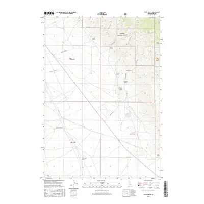
2017 Map of Scott Butte
USGS Topo · Published 2017About this map
Birch Creek Valley dominates the southwestern portion of this Clark County landscape, where the waters of Birch Cr and the Reno Ditch irrigation system support the high desert floor. The terrain rises sharply to the northeast into the Targhee National Forest, characterized by a series of deep drainage features such as Peterson Canyon, Deadman Canyon, and Bloom Canyon. A prominent landmark, Scott Butte, stands as a sentinel between the low valley and the forest highlands.
Find a feature on this map
22 named features on this map. Tap any name to fly to it.
Don’t see what you’re looking for? This feature index may not catch every label — zoom into the map to look around manually.
Map Details
Editions of this 2017 Scott Butte Map
This is the sole edition of this map. No revisions or reprints were ever made.
Other maps of this area

1955 · Dubois
USGS Topo · 1:250,000

1955 · Idaho Falls
USGS Topo · 1:250,000

1958 · Dubois
USGS Topo · 1:250,000

1958 · Idaho Falls
USGS Topo · 1:250,000

1969 · Shamrock Gulch
USGS Topo · 1:24,000

1969 · Circular Butte NW
USGS Topo · 1:24,000

1969 · Eightmile Canyon
USGS Topo · 1:24,000

1969 · Richard Butte
USGS Topo · 1:24,000

1969 · Tyler Peak
USGS Topo · 1:24,000

1969 · Copper Mtn
USGS Topo · 1:24,000