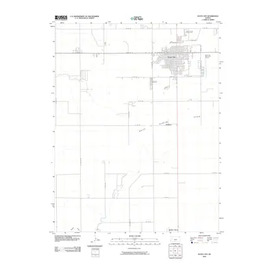
2009 Map of Scott City
USGS Topo · Published 2009About this map
Scott City serves as the focal point of this Western Kansas landscape, displaying a well-defined grid of residential streets and civic landmarks including the Scott City Cemetery and Scott County Fairgrounds. The town's layout is bordered by the Scott City Municipal Airport to the east and bisected by State Hwy 96, reflecting the community's role as a regional hub. South of the main settlement, the terrain transitions into the distinct geographic depression of the White Woman Basin.
Find a feature on this map
38 named features on this map. Tap any name to fly to it.
Don’t see what you’re looking for? This feature index may not catch every label — zoom into the map to look around manually.
Map Details
Editions of this 2009 Scott City Map
This is the sole edition of this map. No revisions or reprints were ever made.
Other maps of this area

1939 · Sandon
USGS Topo · 1:62,500

1939 · Pence
USGS Topo · 1:62,500

1940 · Scott City
USGS Topo · 1:62,500

1941 · Modoc
USGS Topo · 1:62,500

1941 · Pence
USGS Topo · 1:62,500

1942 · Sandon
USGS Topo · 1:62,500

1951 · Scott City
USGS Topo · 1:62,500

1951 · Modoc
USGS Topo · 1:62,500

1955 · Scott City
USGS Topo · 1:250,000

1958 · Scott City
USGS Topo · 1:250,000