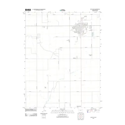
2012 Map of Scott City
USGS Topo · Published 2012About this map
White Woman Cr meanders across this High Plains landscape, leading toward the distinct geological depression of White Woman Basin south of the city. The map highlights a highly structured section-line road network, such as N Kansas Rd and W Road 130, which defines the agricultural character of Scott County. In the northern portion of the sheet, the city core is well-established, featuring the Scott County Fairgrounds and the Scott City Municipal Airport. Genealogists and local historians will find the Scott County Cem clearly marked along S Kansas Rd. Further south, the small settlements of Hutchins and Shallow Water sit along the primary north-south transit corridor, illustrating the dispersed nature of Western Kansas communities during this era. Natural features like Rocky Draw and Lion Cr provide the only breaks in the geometric precision of the township and range survey lines.
Find a feature on this map
54 named features on this map. Tap any name to fly to it.
Don’t see what you’re looking for? This feature index may not catch every label — zoom into the map to look around manually.
Map Details
Editions of this 2012 Scott City Map
This is the sole edition of this map. No revisions or reprints were ever made.
Other maps of this area

1939 · Sandon
USGS Topo · 1:62,500

1939 · Pence
USGS Topo · 1:62,500

1940 · Scott City
USGS Topo · 1:62,500

1941 · Modoc
USGS Topo · 1:62,500

1941 · Pence
USGS Topo · 1:62,500

1942 · Sandon
USGS Topo · 1:62,500

1951 · Scott City
USGS Topo · 1:62,500

1951 · Modoc
USGS Topo · 1:62,500

1955 · Scott City
USGS Topo · 1:250,000

1958 · Scott City
USGS Topo · 1:250,000