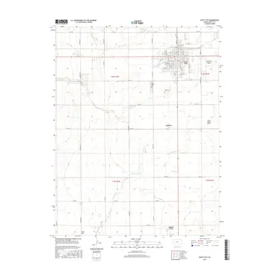
2015 Map of Scott City
USGS Topo · Published 2015About this map
Scott City serves as the primary population center in this Western Kansas landscape, characterized by a meticulous grid of rural roads and drainage patterns. The settlement is flanked by Lion Cr to the west and is supported by infrastructure like the Scott City Municipal Airport to the east. South of the city, the land transitions toward the smaller communities of Hutchins and Shallow Water, the latter situated near the southern boundary of the quadrangle.
Find a feature on this map
64 named features on this map. Tap any name to fly to it.
Don’t see what you’re looking for? This feature index may not catch every label — zoom into the map to look around manually.
Map Details
Editions of this 2015 Scott City Map
This is the sole edition of this map. No revisions or reprints were ever made.
Other maps of this area

1939 · Sandon
USGS Topo · 1:62,500

1939 · Pence
USGS Topo · 1:62,500

1940 · Scott City
USGS Topo · 1:62,500

1941 · Modoc
USGS Topo · 1:62,500

1941 · Pence
USGS Topo · 1:62,500

1942 · Sandon
USGS Topo · 1:62,500

1951 · Scott City
USGS Topo · 1:62,500

1951 · Modoc
USGS Topo · 1:62,500

1955 · Scott City
USGS Topo · 1:250,000

1958 · Scott City
USGS Topo · 1:250,000