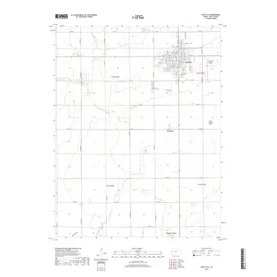
2018 Map of Scott City
USGS Topo · Published 2018About this map
Scott City serves as the primary hub of this High Plains landscape, where the grid of city streets like N Main St and E 5th St transitions abruptly into the expansive agricultural sections of the surrounding prairie. To the south, the landscape is defined by the ephemeral courses of White Woman Cr and Lion Cr, which snake through the terrain toward White Woman Basin. The map captures the quiet transition from the urban center to outlying areas such as Hutchins and Shallow Water, reflecting the deep-rooted irrigation and ranching traditions of western Kansas. Cultural landmarks like the Scott County Cem and the Scott City Municipal Airport anchor the community, while the drainage patterns at Rocky Draw illustrate the subtle but significant topography that dictates land use in this semi-arid region.
Find a feature on this map
55 named features on this map. Tap any name to fly to it.
Don’t see what you’re looking for? This feature index may not catch every label — zoom into the map to look around manually.
Map Details
Editions of this 2018 Scott City Map
This is the sole edition of this map. No revisions or reprints were ever made.
Other maps of this area

1939 · Sandon
USGS Topo · 1:62,500

1939 · Pence
USGS Topo · 1:62,500

1940 · Scott City
USGS Topo · 1:62,500

1941 · Modoc
USGS Topo · 1:62,500

1941 · Pence
USGS Topo · 1:62,500

1942 · Sandon
USGS Topo · 1:62,500

1951 · Scott City
USGS Topo · 1:62,500

1951 · Modoc
USGS Topo · 1:62,500

1955 · Scott City
USGS Topo · 1:250,000

1958 · Scott City
USGS Topo · 1:250,000