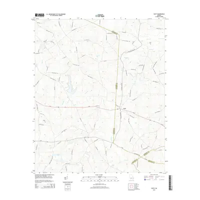
2014 Map of Scott
USGS Topo · Published 2014About this map
Scott lies at the convergence of several rural transport corridors in a landscape defined by the winding tributaries of the Altamaha River basin. The settlement pattern here is deeply intertwined with the county lines of Johnson, Laurens, Emanuel, and Treutlen, which meet in a complex series of intersections across this terrain. Significant family and local history is anchored by Beasley Cem, Smith Cem, and Red Hill Cem, while the hydrological network of Pendleton Cr, Indian Br, and Poley Cr dictates the local geography. Small water bodies like Keen Lake and Smalley Lake are interspersed among a dense web of local roads, including Thomas Chapel Rd and Bay Springs Rd, reflecting the region's agricultural and timber-based character in the early 21st century.
Find a feature on this map
90 named features on this map. Tap any name to fly to it.
Don’t see what you’re looking for? This feature index may not catch every label — zoom into the map to look around manually.
Map Details
Editions of this 2014 Scott Map
This is the sole edition of this map. No revisions or reprints were ever made.
Other maps of this area

1957 · Macon
USGS Topo · 1:250,000

1958 · Macon
USGS Topo · 1:250,000

1964 · Macon
USGS Topo · 1:250,000

1971 · Soperton North
USGS Topo · 1:24,000

1971 · Rockledge
USGS Topo · 1:24,000

1974 · Kite
USGS Topo · 1:24,000

1974 · Wrightsville
USGS Topo · 1:24,000

1974 · East Dublin
USGS Topo · 1:24,000

1974 · Lovett
USGS Topo · 1:24,000

1974 · Scott
USGS Topo · 1:24,000